أيونيا
| أيونيا Ionia (Ἰωνία) | |
|---|---|
| منطقة قديمة في الأناضول | |
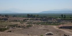
 جبل ميكالى، موقع پانيونيوم | |
| الموقع | محافظة إزمير، غرب الأناضول |
| الدولة تواجدت | القرنان 7–6 ق.م. (بإسم الرابطة الأيونية) |
| اللغة | اليونانية الأيونية |
| أكبر مدينة | دلوس |
| الساتراپ الفارسي | ياونا |
| المقاطعة الرومانية | أوروپا – آسيا |
 | |
أيونيا (باليونانية القديمة: Ἰωνία أو Ἰωνίη؛ تركية: İyonya؛ إنگليزية: Ionia) هي منطقة قديمة في وسط ساحل الأناضول في ما هو اليوم تركيا، المنطقة المجاورة لمدينة إزمير، which was historically Smyrna. It consisted of the northernmost territories of the Ionian League of Greek settlements. Never a unified state, it was named after the Ionian tribe who, in the Archaic Period (600–480 ق.م.), settled mainly the shores and islands of the Aegean Sea. Ionian states were identified by tradition and by their use of اليونانية الشرقية.
أيونيا ذاتها كانت تتألف من شريط ساحلي ضيق من Phocaea in the north near the mouth of the river Hermus (now the Gediz), to Miletus in the south near the mouth of the river Maeander, and included the islands of Chios and Samos. It was bounded by Aeolia to the north, Lydia to the east and Caria to the south. The cities within the region figured large in the strife between the Persian Empire and the Greeks.
According to Greek tradition, the cities of Ionia were founded by colonists from the other side of the Aegean. Their settlement was connected with the legendary history of the Ionic people in Attica, which asserts that the colonists were led by Neleus and Androclus, sons of Codrus, the last king of Athens. In accordance with this view the "Ionic migration", as it was called by later chronologers, was dated by them one hundred and forty years after the Trojan War, or sixty years after the return of the Heracleidae into the Peloponnese.[1][2]
الجغرافيا
التاريخ

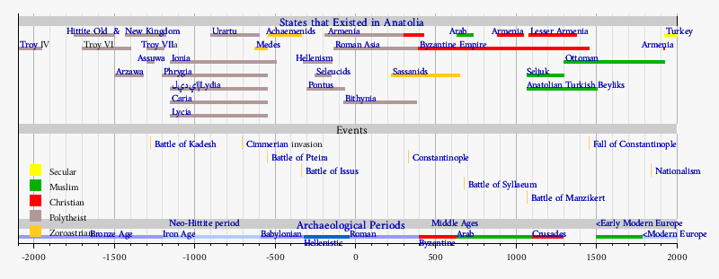
From the 18th century BC the region was a part of the Hittite Empire with possible name Arzawa,which was destroyed by invaders during the 12th century BC together with the collapse of the Empire. Ionia was settled by the Greeks probably during the 11th century BC. The most important city was Miletus (the Milawanta of Hittites). Several centuries later Ionia was the place where western philosophy began and was the homeland of Heraclitus, Thales, Anaximander and Anaximenes. They were natural-philosophers of the Ionian school of philosophy and tried to explain the phenomena according to no-supernatural laws. They also searched a simple material-form behind the appearances of things (origin) and this conception had a great influence on the early archaic art in Greece.

انظر أيضاً
الهامش
- ^ Smith, William (1857). Dictionary of Greek and Roman Geography: Volume II Iabadius-Zymethus. London: Walton and Maberly. pp. Ionia pages 60–61.
- ^ "Ionia". Encyclopaedia Britannica. 1911.
المراجع
- Herodotus; Histories, A. D. Godley (translator), Cambridge: Harvard University Press, 1920; ISBN 0-674-99133-8. Online version at the Perseus Digital Library.
- Jan Paul Crielaard, "The Ionians in the Archaic period: Shifting identities in a changing world," in Ton Derks, Nico Roymans (ed.), Ethnic Constructs in Antiquity: The Role of Power and Tradition (Amsterdam, Amsterdam University Press, 2009) (Amsterdam Archaeological Studies, 13), 37-84.
- Alan M. Greaves, The Land of Ionia: Society and Economy in the Archaic Period (Chichester/Malden, MA, Wiley-Blackwell, 2010).


