گلگت
(تم التحويل من Gilgit)
Gilgit
| |
|---|---|
|
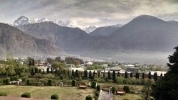
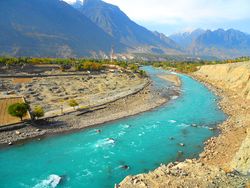
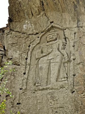
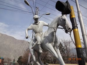
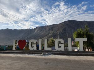
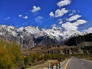
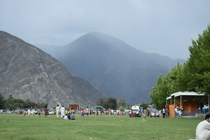
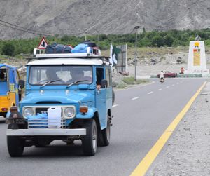
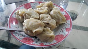
Top left to right: Gilgit is located in a broad valley, A mosque in the city, Jutial and Gilgit River flowing through the valley | |
| الكنية: Gileet | |
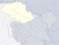
| الإحداثيات: 35°55′15″N 74°18′30″E / 35.92083°N 74.30833°E | |
| Country | Pakistan |
| Territory | Gilgit Baltistan |
| المنسوب | 1٬500 m (4٬900 ft) |
| التعداد (1998) | |
| • الإجمالي | 216٬760 |
| Demographics | |
| • Languages | Urdu, Balti, Shina |
| منطقة التوقيت | UTC+5:00 (PST) |
| Postal code | 1571 – 1xx[2] |
| مفتاح الهاتف | +92 |
گلگت (بالشيناوية: گلیت؛ أردو: گلگت، ur)، هي عاصمة گلگت-بلتستان، إقليم في كشمير تحت الإدارة الپاكستانية. تقع المدينة في وادي كبير بالقرب من التقاء نهري گلگت وهونزا. تعتبر گلگت وجهة سياحية شهيرة في پاكستان، ومركزاً لهواة الرحلات وتسقلق الجبال في سلسلة قرةقرم.
كانت گلگت مركزاً بوذياً؛ وهي نقطة توقف هامة على طريق الحرير القديم، وتعتبر اليوم تلقى طرق رئيسي على امتداد طريق قرةقرم السريع بالطرق المؤدية إلى الصين، سكاردو، چيترال، پشاور، وإسلام أباد. تمثل گلگت اليوم محطة حدودية للمناطق القبائلية المحية. يعتمد اقتصاد على الزراعة بشكل رئيسي، حيث يُزرع القمح، الذرة، والشعير.[3]
أصل الكلمة
التاريخ
التاريخ المبكر
العصر البوذي
مخطوطات
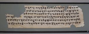
Jatakamala manuscript 8th-9th century
ما قبل تراخان
أسرة تراخان
عقد 1800
الراج البريطاني
حرب كشمير 1947
جغرافيا
الادارة
المواصلات

ATR 42-500 at Gilgit Airport
المطارات
الطرق
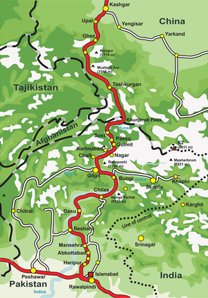
Route of the Karakoram Highway
السكة الحديد
التعليم
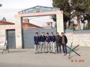
One of the most renowned institutes in the GB Region, Public Schools and Colleges Jutial Gilgit
المدن الشقيقة
انظر ايضا
المصادر
- ^ "Geography of Chitral". Chitralnews.com. Archived from the original on 4 March 2016. Retrieved 2015-11-06.
- ^ "Post Codes". Pakistan Post Office. Retrieved 17 March 2015.
- ^ "Gilgit | Kashmir region, Indian subcontinent, Asia". Encyclopedia Britannica (in الإنجليزية). Retrieved 2019-06-20.
- Sources
- Bangash, Yaqoob Khan (2010), "Three Forgotten Accessions: Gilgit, Hunza and Nagar", The Journal of Imperial and Commonwealth History 38 (1): 117–143, doi:
- Schofield, Victoria (2003) [First published in 2000], Kashmir in Conflict, London and New York: I. B. Taurus & Co, ISBN 1860648983, https://books.google.co.uk/books?id=rkTetMfI6QkC
اقرأ أكثر
وصلات خارجية
 Media related to Gilgit at Wikimedia Commons
- Official Website of the Gilgit Baltistan Tourism Department
- Official Website of the Government of Gilgit Baltistan
- Gilgit Nomination, UNESCO, the Memory of the World Register entry document
- Britannica Gilgit
 Gilgit travel guide from Wikivoyage
