ملف:Main Street in the Morganfield Commercial District.jpg
حجم هذه المعاينة: 800 × 450 بكسل. البعد الآخر: 2٬816 × 1٬584 بكسل.
الملف الأصلي (2٬816 × 1٬584 بكسل حجم الملف: 1٫32 ميجابايت، نوع MIME: image/jpeg)
| موضوعات | |
|---|---|
| قوائم حسب الولاية |
|
| قائمة الأراضي | |
| قوائم حسب الولايات المرتبطة | |
| أخرى | |
37°41′3″N 87°55′1″W / 37.68417°N 87.91694°W
| ⧼wm-license-information-description⧽ |
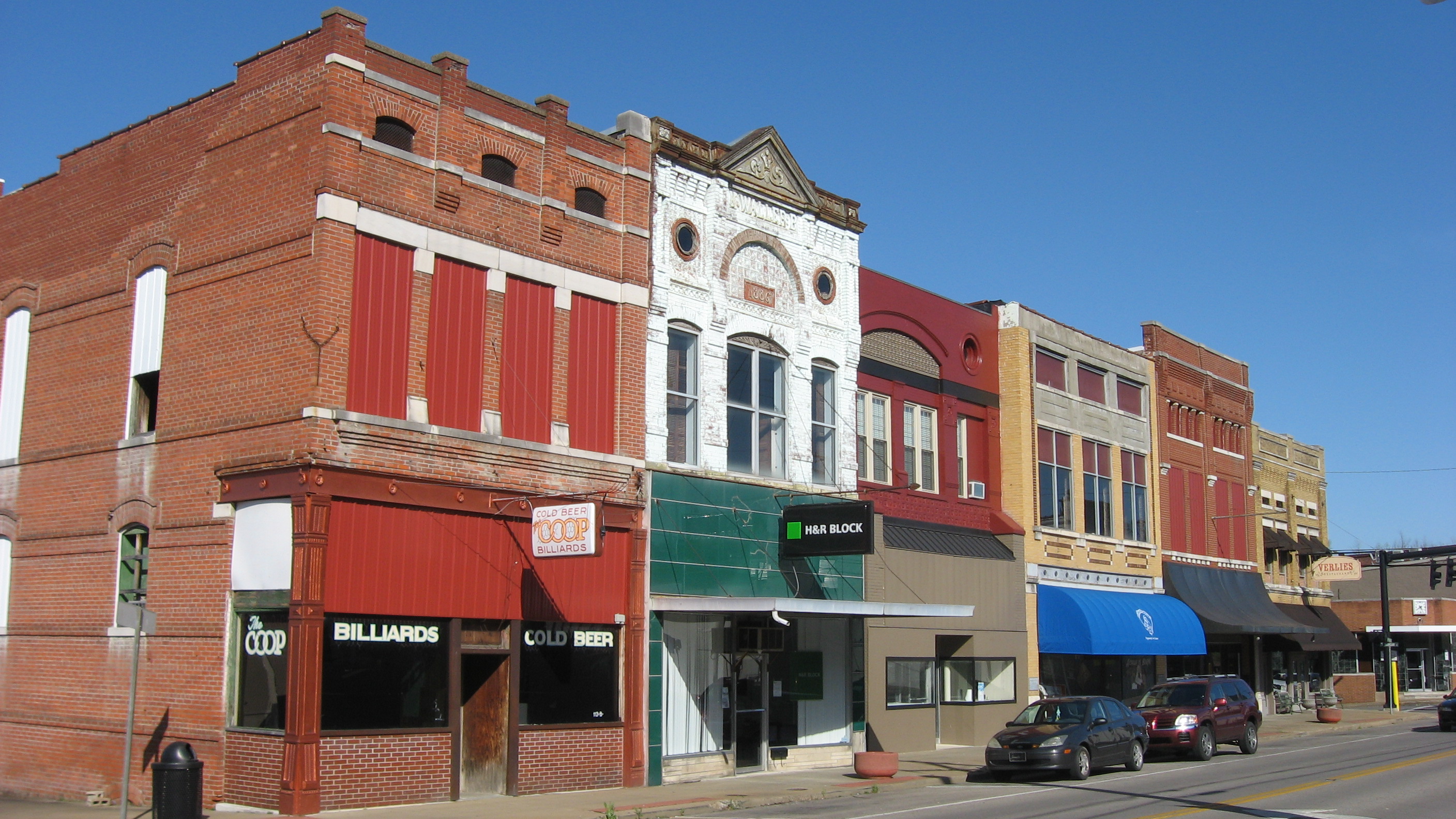
English: Buildings on the northern side of the 100 block of W. Main Street (Kentucky Route 56) in downtown Morganfield, Kentucky, United States. This block is part of the Morganfield Commercial District, a historic district that is listed on the National Register of Historic Places.
|
||
| ⧼wm-license-information-date⧽ | قالب:Taken on | ||
| ⧼wm-license-information-source⧽ | ⧼Wm-license-own-work⧽ | ||
| ⧼wm-license-information-author⧽ | Nyttend | ||
| ⧼wm-license-information-permission⧽ (⧼wm-license-information-permission-reusing-text⧽) |
|
تاريخ الملف
اضغط على زمن/تاريخ لرؤية الملف كما بدا في هذا الزمن.
| زمن/تاريخ | صورة مصغرة | الأبعاد | مستخدم | تعليق | |
|---|---|---|---|---|---|
| حالي | ★ مراجعة معتمدة 14:56، 1 نوفمبر 2023 | | 2٬816 × 1٬584 (1٫32 ميجابايت) | Pastakhov (نقاش | مساهمات) | Upload https://upload.wikimedia.org/wikipedia/commons/3/31/Main_Street_in_the_Morganfield_Commercial_District.jpg |
لا يمكنك استبدال هذا الملف.
وصلات
لا يوجد صفحات تصل لهذه الصورة.
معلومات الصورة (ميتا)
تصنيفات:
- Pages using gadget WikiMiniAtlas
- Brick buildings in Union County, Kentucky
- Historic districts in Kentucky
- Kentucky Route 56
- Morganfield, Kentucky
- National Register of Historic Places in Union County, Kentucky
- Pool halls in the United States
- Romanesque Revival architecture in Kentucky
- Community pictures by User:Nyttend