ملف:Site of Fort Dunlap.jpg
حجم هذه المعاينة: 800 × 450 بكسل. البعد الآخر: 2٬816 × 1٬584 بكسل.
الملف الأصلي (2٬816 × 1٬584 بكسل حجم الملف: 1٫82 ميجابايت، نوع MIME: image/jpeg)
| موضوعات | |
|---|---|
| قوائم حسب الولاية |
|
| قائمة الأراضي | |
| قوائم حسب الولايات المرتبطة | |
| أخرى | |
39°17′36″N 84°39′12″W / 39.29333°N 84.65333°W
| ⧼wm-license-information-description⧽ |
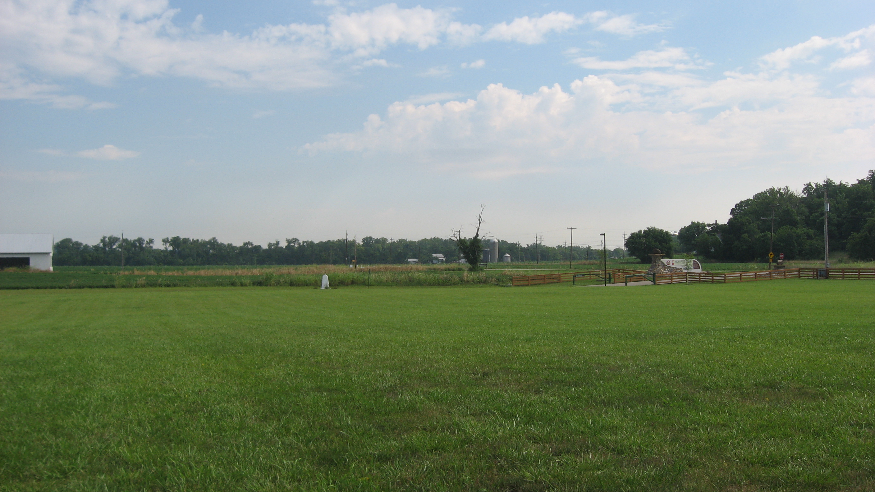
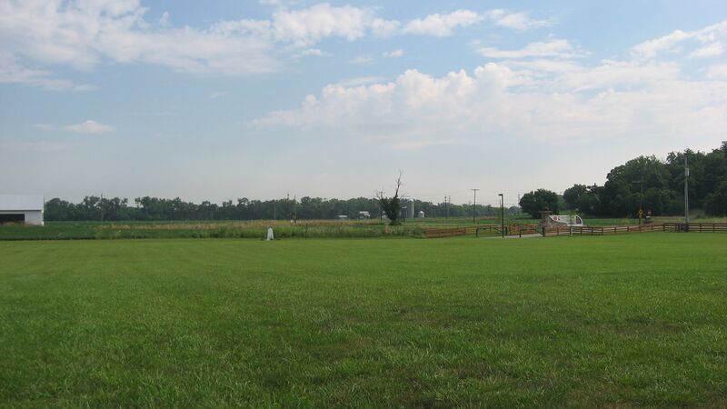
English: Fields on the site of Fort Dunlap, located in a township park along Miami River Road in Colerain Township, Hamilton County, Ohio, United States. As one of the first white settlements in the Cincinnati area, it is a valuable archaeological site and has accordingly been listed on the National Register of Historic Places.
|
||
| ⧼wm-license-information-date⧽ | قالب:Taken on | ||
| ⧼wm-license-information-source⧽ | ⧼Wm-license-own-work⧽ | ||
| ⧼wm-license-information-author⧽ | Nyttend | ||
| ⧼wm-license-information-permission⧽ (⧼wm-license-information-permission-reusing-text⧽) |
|
تاريخ الملف
اضغط على زمن/تاريخ لرؤية الملف كما بدا في هذا الزمن.
| زمن/تاريخ | صورة مصغرة | الأبعاد | مستخدم | تعليق | |
|---|---|---|---|---|---|
| حالي | ★ مراجعة معتمدة 08:13، 16 أكتوبر 2023 | | 2٬816 × 1٬584 (1٫82 ميجابايت) | Pastakhov (نقاش | مساهمات) | Upload https://upload.wikimedia.org/wikipedia/commons/a/a9/Site_of_Fort_Dunlap.jpg |
لا يمكنك استبدال هذا الملف.
وصلات
لا يوجد صفحات تصل لهذه الصورة.
معلومات الصورة (ميتا)
تصنيفات:
- Built in Ohio in 1790
- Archaeological sites in Ohio
- Colerain Township, Hamilton County, Ohio
- Forts in Ohio
- Historic districts in Hamilton County, Ohio
- National Register of Historic Places in Hamilton County, Ohio
- Northwest Indian War
- Parks in Ohio
- Scenery pictures by User:Nyttend
- Taken with Canon PowerShot A540