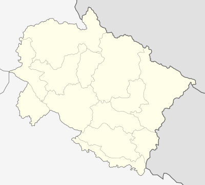
قالب:Location map India Uttarakhand
| name | اوتاراخند | |||
|---|---|---|---|---|
| border coordinates | ||||
| 31.61 | ||||
| 77.46 | ←↕→ | 81.19 | ||
| 28.50 | ||||
| map center | 30°03′18″N 79°19′30″E / 30.055°N 79.325°E | |||
| image | India Uttarakhand location map.svg | |||

| ||||
| mark | Locator_Dot.svg | |||
| name | اوتاراخند | |||
|---|---|---|---|---|
| border coordinates | ||||
| 31.61 | ||||
| 77.46 | ←↕→ | 81.19 | ||
| 28.50 | ||||
| map center | 30°03′18″N 79°19′30″E / 30.055°N 79.325°E / 30.055; 79.325 | |||
| image | India Uttarakhand location map.svg | |||

| ||||
| mark | Locator_Dot.svg | |||