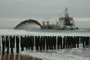
التحكم في الفيضانات في هولندا
.
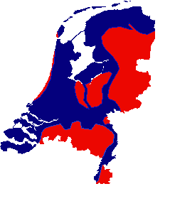
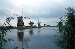
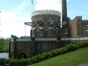
يعتبر التحكم في الفيضانات ، من أهم القضايا في هولندا حيث ثلاثي البلاد عرضة للفيضانات في الوقت الذي تعتبر فيه هولندا من أعلى بلدان العالم من حيث الكثافة السكانية. وتشكل الكثبان الرملية الطبيعية والحواجز الصناعية، السدود وبوابات الفيضانات دفاعا ضد storm surge الآتية من البحر. وتعمل الحواجز على حماية البلاد من تدفق مياه الأنهار الرئيسية مثل الراين والميز، while a complicated system of drainage ditches, canals and pumping stations (historically: windmills) keep the low lying parts dry for habitation and agriculture. Water control boards are the independent local government bodies responsible for maintaining this system.
In modern times flood disasters coupled with technological development have led to large construction works to reduce the influence of the sea and prevent future floods.
. . . . . . . . . . . . . . . . . . . . . . . . . . . . . . . . . . . . . . . . . . . . . . . . . . . . . . . . . . . . . . . . . . . . . . . . . . . . . . . . . . . . . . . . . . . . . . . . . . . . . . . . . . . . . . . . . . . . . . . . . . . . . . . . . . . . . . . . . . . . . . . . . . . . . . . . . . . . . . . . . . . . . . . .
التاريخ
الجغرافيا الأصلية لهولندا وبناء terp
انشاء الحواجز على المناطق الساحلية
Developing the peat swamps
التحكم في فيضانات الأنهار
لجنة التحكم في المياه
أشهر الفيضانات
الفيضانات كدفاع عسكري
التطورات المعاصرة
أعمال زويدرزي
أعمال الدلتا

الوضع الحالي والمستقبلي
. . . . . . . . . . . . . . . . . . . . . . . . . . . . . . . . . . . . . . . . . . . . . . . . . . . . . . . . . . . . . . . . . . . . . . . . . . . . . . . . . . . . . . . . . . . . . . . . . . . . . . . . . . . . . . . . . . . . . . . . . . . . . . . . . . . . . . . . . . . . . . . . . . . . . . . . . . . . . . . . . . . . . . . .
انظر أيضا
المصادر
- Vergemissen, H (1998). "Het woelige water; Watermanagment in Nederland", Teleac/NOT, ISBN 90-6533-467-X
- Ten Brinke, W (2007). "Land in Zee; De watergeschiedenis van Nederland", Veen Magazines, ISBN 978-90-8571-073-8
- Stol, T (1993). "Wassend water, dalend land; Geschiedenis van Nederland en het water", Kosmos, ISBN 90-215-2183-0
وصلات خارجية
- DeltaWorks.Org - Website about the flood of 1953 and the construction of the DeltaWorks.
- Podcast episode on the history of Dutch Flood defences - Exploring Environmental History Podcast

