ملف:Zbraslav, K přehradám.jpg

حجم هذه المعاينة: 450 × 600 بكسل. البعد الآخر: 2٬448 × 3٬264 بكسل.
الملف الأصلي (2٬448 × 3٬264 بكسل حجم الملف: 1٫46 ميجابايت، نوع MIME: image/jpeg)
| ⧼wm-license-information-description⧽ |
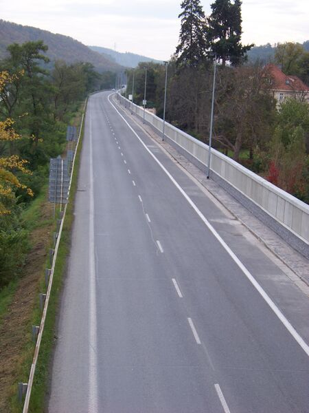
(بالتشيكية) English: Prague-Zbraslav, the Czech Republic, K přehradám street, a flood protection wall on the right side.
|
|||
| ⧼wm-license-information-date⧽ | 2010 | |||
| ⧼wm-license-information-source⧽ | ⧼Wm-license-own-work⧽ | |||
| ⧼wm-license-information-author⧽ | ŠJů (cs:ŠJů) | |||
| ⧼wm-license-information-permission⧽ (⧼wm-license-information-permission-reusing-text⧽) |
|
تاريخ الملف
اضغط على زمن/تاريخ لرؤية الملف كما بدا في هذا الزمن.
| زمن/تاريخ | صورة مصغرة | الأبعاد | مستخدم | تعليق | |
|---|---|---|---|---|---|
| حالي | ★ مراجعة معتمدة 02:38، 15 يناير 2024 | | 2٬448 × 3٬264 (1٫46 ميجابايت) | Pastakhov (نقاش | مساهمات) | Upload https://upload.wikimedia.org/wikipedia/commons/1/16/Zbraslav%2C_K_p%C5%99ehrad%C3%A1m.jpg |
لا يمكنك استبدال هذا الملف.
وصلات
لا يوجد صفحات تصل لهذه الصورة.