ملف:Zahorčice-náves.jpg

حجم هذه المعاينة: 800 × 600 بكسل. البعد الآخر: 2٬272 × 1٬704 بكسل.
الملف الأصلي (2٬272 × 1٬704 بكسل حجم الملف: 1٫93 ميجابايت، نوع MIME: image/jpeg)
وصف قصير
| ⧼wm-license-information-description⧽ |
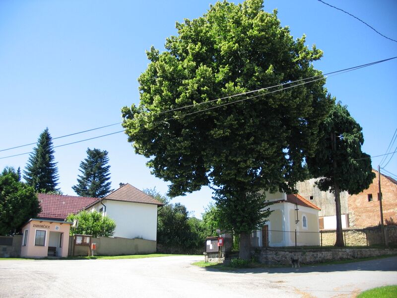
(بالتشيكية) English: Village square and chapel in Zahorčice, Strakonice District, Czech Republic
Deutsch: Dorfplatz und Kapelle in Zahorčice, Bezirk Strakonice, Tschechien
|
| ⧼wm-license-information-date⧽ | 2009 |
| ⧼wm-license-information-source⧽ | ⧼Wm-license-own-work⧽ |
| ⧼wm-license-information-author⧽ | Nissan0 |
49°12′31″N 13°49′04″E / 49.20861°N 13.81778°E
ترخيص
|

تاريخ الملف
اضغط على زمن/تاريخ لرؤية الملف كما بدا في هذا الزمن.
| زمن/تاريخ | صورة مصغرة | الأبعاد | مستخدم | تعليق | |
|---|---|---|---|---|---|
| حالي | ★ مراجعة معتمدة 14:24، 14 أكتوبر 2023 | | 2٬272 × 1٬704 (1٫93 ميجابايت) | Pastakhov (نقاش | مساهمات) | Upload https://upload.wikimedia.org/wikipedia/commons/1/17/Zahor%C4%8Dice-n%C3%A1ves.jpg |
لا يمكنك استبدال هذا الملف.
وصلات
لا يوجد صفحات تصل لهذه الصورة.