ملف:ZH-燕国地图260BCE.jpg

حجم هذه المعاينة: 651 × 599 بكسل. البعدان الآخران: 2٬225 × 2٬048 بكسل | 4٬724 × 4٬348 بكسل.
الملف الأصلي (4٬724 × 4٬348 بكسل حجم الملف: 1٫67 ميجابايت، نوع MIME: image/jpeg)

|
[All images in this gallery should be recreated using vector graphics as an SVG file. This has several advantages; see Commons:Media for cleanup for more information. If an SVG form of this image is already available, please upload it. After uploading an SVG, replace this template with {{vector version available|new image name.svg}}.] Error: {{Lang}}: text has italic markup (help) |
|
العربية | български | català | čeština | dansk | Deutsch | English | Esperanto | español | français | galego | 한국어 | italiano | magyar | lietuvių | 日本語 | Plattdüütsch | Nederlands | norsk | polski | português | română | русский | suomi | svenska | Türkçe | українська | 中文(繁體) | 中文(简体) | +/− | |
وصف قصير
| ⧼wm-license-information-description⧽ |
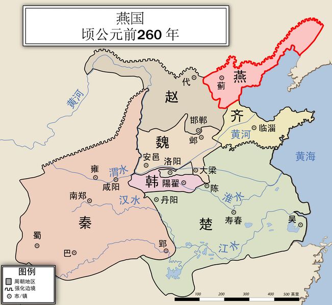
English: China Map, Yan State, 260 BC, Simplified Chinese character
|
| ⧼wm-license-information-date⧽ | |
| ⧼wm-license-information-source⧽ | ⧼Wm-license-own-work⧽ |
| ⧼wm-license-information-author⧽ | Philg88 |
| ⧼wm-license-information-other-versions⧽ |

ترخيص
|

تاريخ الملف
اضغط على زمن/تاريخ لرؤية الملف كما بدا في هذا الزمن.
| زمن/تاريخ | صورة مصغرة | الأبعاد | مستخدم | تعليق | |
|---|---|---|---|---|---|
| حالي | ★ مراجعة معتمدة 17:14، 1 نوفمبر 2023 | | 4٬724 × 4٬348 (1٫67 ميجابايت) | Pastakhov (نقاش | مساهمات) | Upload https://upload.wikimedia.org/wikipedia/commons/d/d6/ZH-%E7%87%95%E5%9B%BD%E5%9C%B0%E5%9B%BE260BCE.jpg |
لا يمكنك استبدال هذا الملف.
وصلات
الصفحات التالية تحتوي على وصلة لهذه الصورة: