ملف:Yellow Sea in its region.svg

الملف الأصلي (ملف SVG، أبعاده 500 × 281 بكسل، حجم الملف: 4٫82 ميجابايت)
وصف قصير
| ⧼wm-license-information-description⧽ |
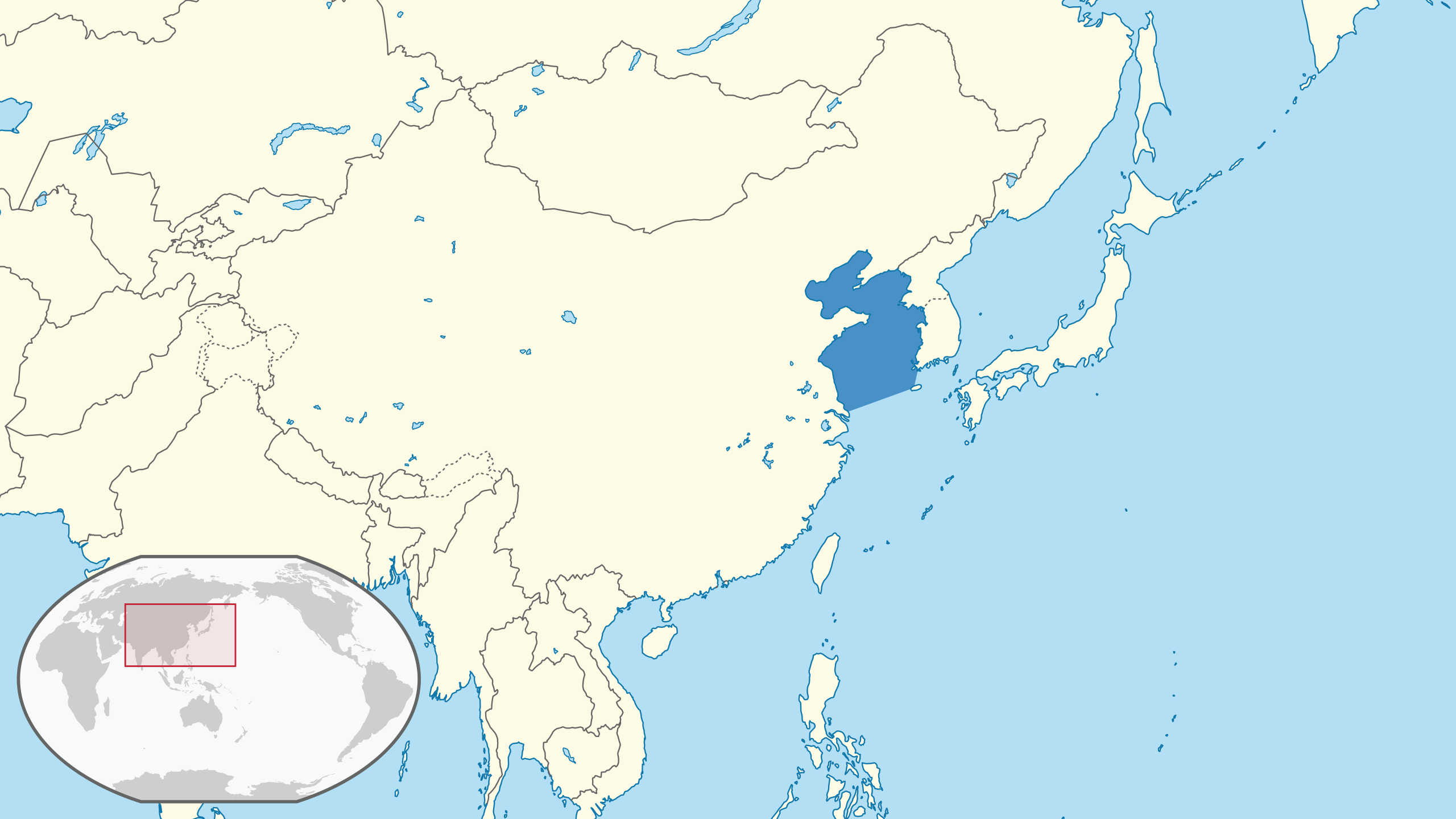
English: Location of the Yellow Sea in the region.
The borders of the sea are approximately based on those from the IHO's "Limits of Oceans and Seas" Draft 4th Edition, 2002. There is a slight discrepancy in the area between Jeju island and mainland Korea. (Winkel III projection centred 150° East and standard parallels at 50°28'.) The map was created using data from Natural Earth and International Hydrographic Organization, IHO; Sieger, Rainer (2012): Limits of oceans and seas in digitized, machine readable form. Alfred Wegener Institute, Helmholtz Centre for Polar and Marine Research, Bremerhaven, PANGAEA, with mapshaper. (The former data source is in the public domain, the latter under CC BY.) For reproducibility purposes, this was the set of scripts used. The style of the map was generally intended to follow that of the German Locator maps project, except for the highlight colour of the sea, for which dark blue (#4790c8) was used. |
| ⧼wm-license-information-date⧽ | 2021 |
| ⧼wm-license-information-source⧽ | ⧼Wm-license-own-work⧽ |
| ⧼wm-license-information-author⧽ | Aplaice |
ترخيص
|
تاريخ الملف
اضغط على زمن/تاريخ لرؤية الملف كما بدا في هذا الزمن.
| زمن/تاريخ | صورة مصغرة | الأبعاد | مستخدم | تعليق | |
|---|---|---|---|---|---|
| حالي | ★ مراجعة معتمدة 03:06، 13 أكتوبر 2023 | | 500 × 281 (4٫82 ميجابايت) | Pastakhov (نقاش | مساهمات) | Upload https://upload.wikimedia.org/wikipedia/commons/9/9d/Yellow_Sea_in_its_region.svg |
لا يمكنك استبدال هذا الملف.
وصلات
لا يوجد صفحات تصل لهذه الصورة.