ملف:Whitehall MOD 45155526.jpg

الملف الأصلي (3٬000 × 1٬621 بكسل حجم الملف: 1٫55 ميجابايت، نوع MIME: image/jpeg)
وصف قصير
| ⧼wm-license-information-description⧽ |
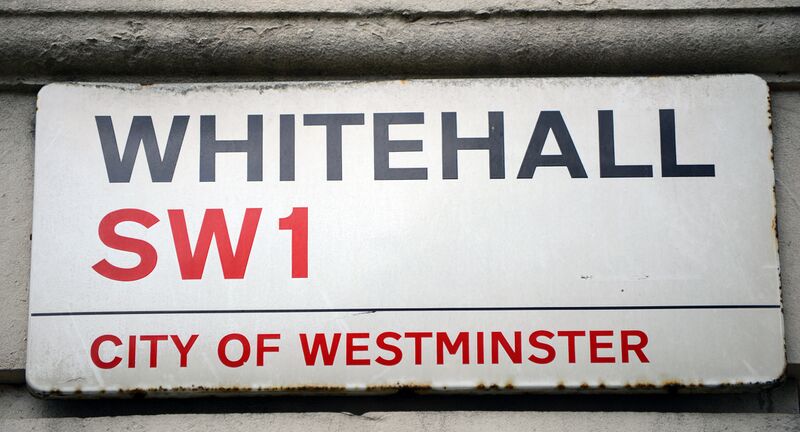
English: Whitehall is a road in the City of Westminster, London and used as a figure of speech for central government due to the number of departments located in the area.
The name is taken from the vast Palace of Whitehall that used to occupy the area but which was largely destroyed by fire in 1698. Whitehall was originally a wide road that led to the front of the palace. Trafalgar Square was built at its northern extremity in the early 19th century. The southernmost portion between Parliament Square and Downing Street is named Parliament Street. Combined, Parliament Street and Whitehall cover a distance of about 0.6 mile (1 km).
|
| ⧼wm-license-information-date⧽ | 2013, {{time}} – invalid date format 56 (help) |
| ⧼wm-license-information-source⧽ | |
| ⧼wm-license-information-author⧽ | Sergeant Tom Robinson RLC |
| ⧼wm-license-information-permission⧽ (⧼wm-license-information-permission-reusing-text⧽) |
Images are downloadable at high resolution, made available at http://www.defenceimagery.mod.uk for reuse under the OGL (Open Government License). |
ترخيص
تاريخ الملف
اضغط على زمن/تاريخ لرؤية الملف كما بدا في هذا الزمن.
| زمن/تاريخ | صورة مصغرة | الأبعاد | مستخدم | تعليق | |
|---|---|---|---|---|---|
| حالي | ★ مراجعة معتمدة 02:24، 22 أكتوبر 2023 | | 3٬000 × 1٬621 (1٫55 ميجابايت) | Pastakhov (نقاش | مساهمات) | Upload https://upload.wikimedia.org/wikipedia/commons/3/3a/Whitehall_MOD_45155526.jpg |
لا يمكنك استبدال هذا الملف.
وصلات
لا يوجد صفحات تصل لهذه الصورة.