ملف:Wheat fields near Sheikh Makan Village.jpg
حجم هذه المعاينة: 450 × 600 بكسل. البعد الآخر: 1٬536 × 2٬048 بكسل.
الملف الأصلي (1٬536 × 2٬048 بكسل حجم الملف: 1٫02 ميجابايت، نوع MIME: image/jpeg)
وصف قصير
| ⧼wm-license-information-description⧽ |
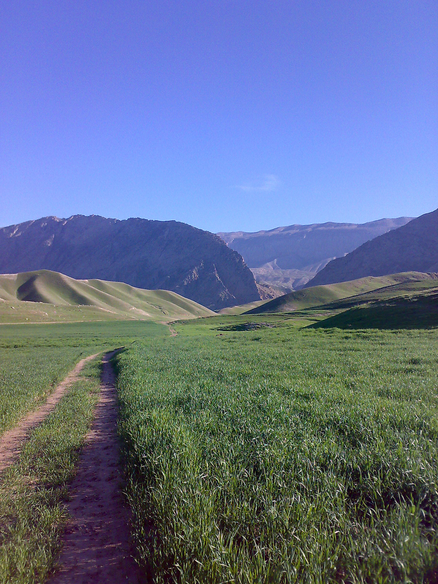
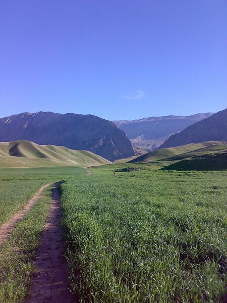
English: Wheat fields near Sheikh Makan Village, Darreh Shahr. The Kabir Kooh (Kabir Kuh) ranges can be seen in the picture.
|
| ⧼wm-license-information-date⧽ | قالب:Taken on |
| ⧼wm-license-information-source⧽ | ⧼Wm-license-own-work⧽ |
| ⧼wm-license-information-author⧽ | Milad2017 |
ترخيص
|
تاريخ الملف
اضغط على زمن/تاريخ لرؤية الملف كما بدا في هذا الزمن.
| زمن/تاريخ | صورة مصغرة | الأبعاد | مستخدم | تعليق | |
|---|---|---|---|---|---|
| حالي | ★ مراجعة معتمدة 16:38، 17 أكتوبر 2023 | | 1٬536 × 2٬048 (1٫02 ميجابايت) | Pastakhov (نقاش | مساهمات) | Upload https://upload.wikimedia.org/wikipedia/commons/0/0d/Wheat_fields_near_Sheikh_Makan_Village.jpg |
لا يمكنك استبدال هذا الملف.
وصلات
لا يوجد صفحات تصل لهذه الصورة.