ملف:Wfm rathlin.jpg
حجم هذه المعاينة: 800 × 593 بكسل. البعد الآخر: 1٬280 × 948 بكسل.
الملف الأصلي (1٬280 × 948 بكسل حجم الملف: 216 كيلوبايت، نوع MIME: image/jpeg)
| ⧼wm-license-information-description⧽ |
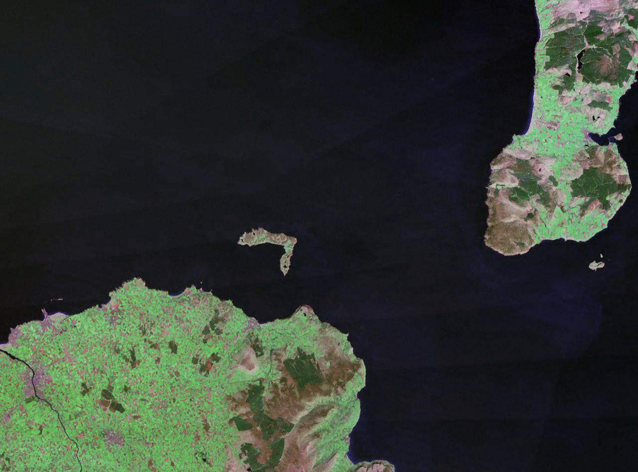
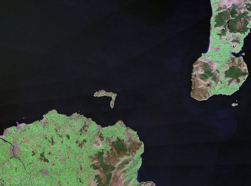
Rathlin Island in Northern Ireland. The coast of County Antrim is to the south, and the tip of the Kintyre Peninsula is to the east. |
| ⧼wm-license-information-date⧽ | circa 1990 |
| ⧼wm-license-information-source⧽ | NASA World Wind (landsat geocover 1990 data) Original image obtained fron NASA World Wind, colour and saturation tweaked with Adobe Photoshop. |
| ⧼wm-license-information-author⧽ | NASA |
| ⧼wm-license-information-permission⧽ (⧼wm-license-information-permission-reusing-text⧽) |
USgov-PD |
تاريخ الملف
اضغط على زمن/تاريخ لرؤية الملف كما بدا في هذا الزمن.
| زمن/تاريخ | صورة مصغرة | الأبعاد | مستخدم | تعليق | |
|---|---|---|---|---|---|
| حالي | ★ مراجعة معتمدة 11:56، 16 أكتوبر 2023 | | 1٬280 × 948 (216 كيلوبايت) | Pastakhov (نقاش | مساهمات) | Upload https://upload.wikimedia.org/wikipedia/commons/2/2d/Wfm_rathlin.jpg |
لا يمكنك استبدال هذا الملف.
وصلات
لا يوجد صفحات تصل لهذه الصورة.