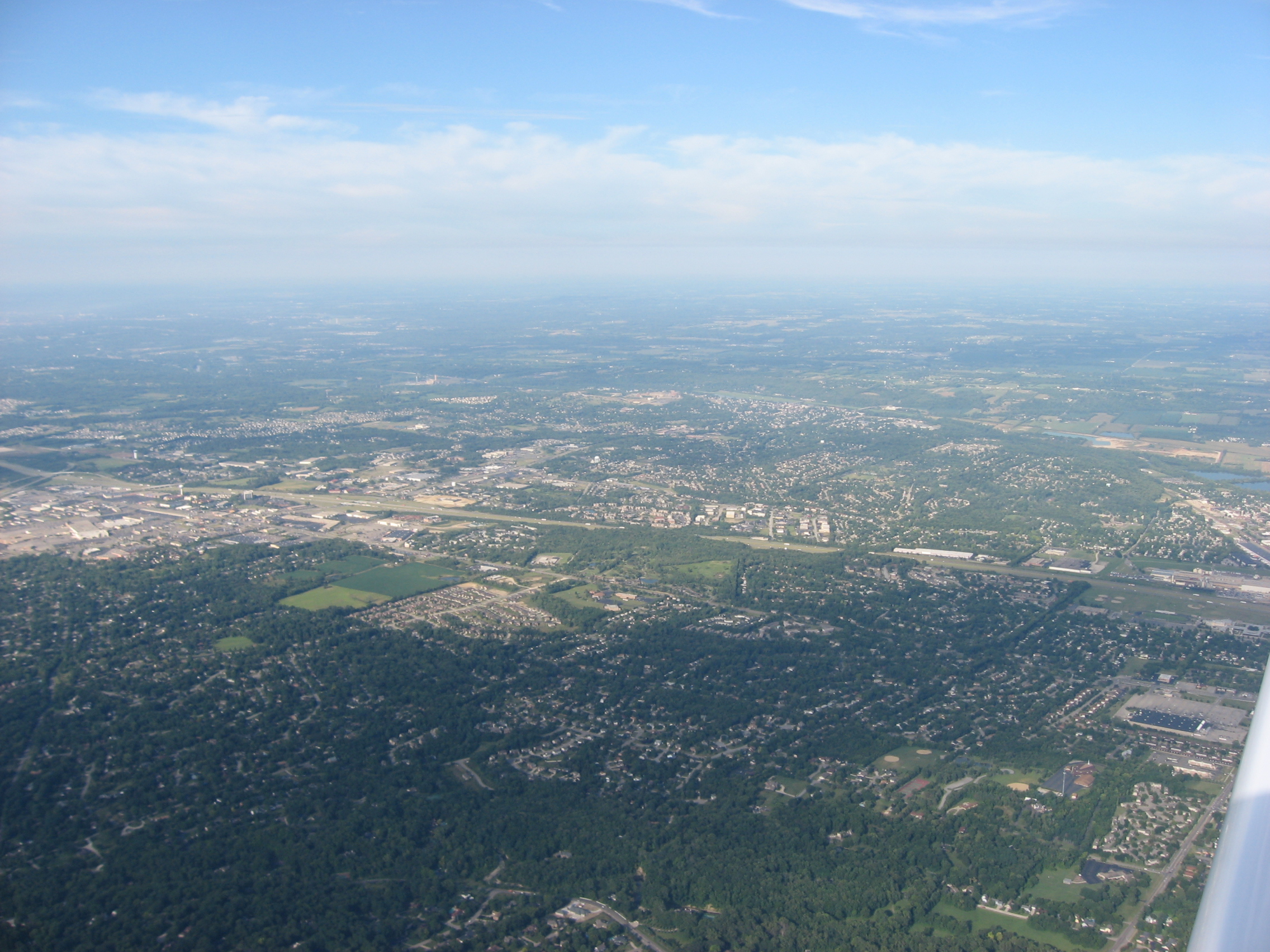
ملف:West Carrollton from 4500 feet.jpg
حجم هذه المعاينة: 800 × 600 بكسل. البعد الآخر: 2٬272 × 1٬704 بكسل.
الملف الأصلي (2٬272 × 1٬704 بكسل حجم الملف: 1٫58 ميجابايت، نوع MIME: image/jpeg)
| ⧼wm-license-information-description⧽ |
Aerial view of West Carrollton, a city in Montgomery County, Ohio, United States. Interstate 75 is the major highway running from side to side in the middle of the picture. Picture taken from a Diamond Eclipse light airplane at an altitude of 4,500 feet MSL and a bearing of approximately 69º. |
||
| ⧼wm-license-information-date⧽ | قالب:Taken on | ||
| ⧼wm-license-information-source⧽ | ⧼Wm-license-own-work⧽ | ||
| ⧼wm-license-information-author⧽ | Nyttend | ||
| ⧼wm-license-information-permission⧽ (⧼wm-license-information-permission-reusing-text⧽) |
|
تاريخ الملف
اضغط على زمن/تاريخ لرؤية الملف كما بدا في هذا الزمن.
| زمن/تاريخ | صورة مصغرة | الأبعاد | مستخدم | تعليق | |
|---|---|---|---|---|---|
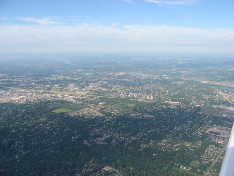
| حالي | ★ مراجعة معتمدة 18:36، 19 أكتوبر 2023 | | 2٬272 × 1٬704 (1٫58 ميجابايت) | Pastakhov (نقاش | مساهمات) | Upload https://upload.wikimedia.org/wikipedia/commons/2/2c/West_Carrollton_from_4500_feet.jpg |
لا يمكنك استبدال هذا الملف.
وصلات
لا يوجد صفحات تصل لهذه الصورة.