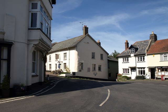
ملف:Village square, Drewsteignton - geograph.org.uk - 1502632.jpg
لا توجد دقة أعلى متوفرة.
Village_square,_Drewsteignton_-_geograph.org.uk_-_1502632.jpg (640 × 427 بكسل حجم الملف: 52 كيلوبايت، نوع MIME: image/jpeg)
وصف قصير
| ⧼wm-license-information-description⧽ | |
| ⧼wm-license-information-date⧽ | 2009 |
| ⧼wm-license-information-source⧽ | From geograph.org.uk |
| ⧼wm-license-information-author⧽ | Derek Harper |
| ⧼wm-license-cc-attribution⧽ (قالب:I18n/Credit line) |
Derek Harper / Village square, Drewsteignton / |
50°42′12″N 3°47′30″W / 50.70337°N 3.7917°W قالب:Object location
_heading:292)
ترخيص
تاريخ الملف
اضغط على زمن/تاريخ لرؤية الملف كما بدا في هذا الزمن.
| زمن/تاريخ | صورة مصغرة | الأبعاد | مستخدم | تعليق | |
|---|---|---|---|---|---|
| حالي | ★ مراجعة معتمدة 07:20، 28 أكتوبر 2023 | | 640 × 427 (52 كيلوبايت) | Pastakhov (نقاش | مساهمات) | Upload https://upload.wikimedia.org/wikipedia/commons/3/3a/Village_square%2C_Drewsteignton_-_geograph.org.uk_-_1502632.jpg |
لا يمكنك استبدال هذا الملف.
وصلات
لا يوجد صفحات تصل لهذه الصورة.