ملف:Village Park in Thornaby-on-Tees - geograph.org.uk - 1713334.jpg
حجم هذه المعاينة: 800 × 533 بكسل. البعدان الآخران: 2٬560 × 1٬704 بكسل | 3٬088 × 2٬056 بكسل.
الملف الأصلي (3٬088 × 2٬056 بكسل حجم الملف: 2٫51 ميجابايت، نوع MIME: image/jpeg)
وصف قصير
| ⧼wm-license-information-description⧽ |
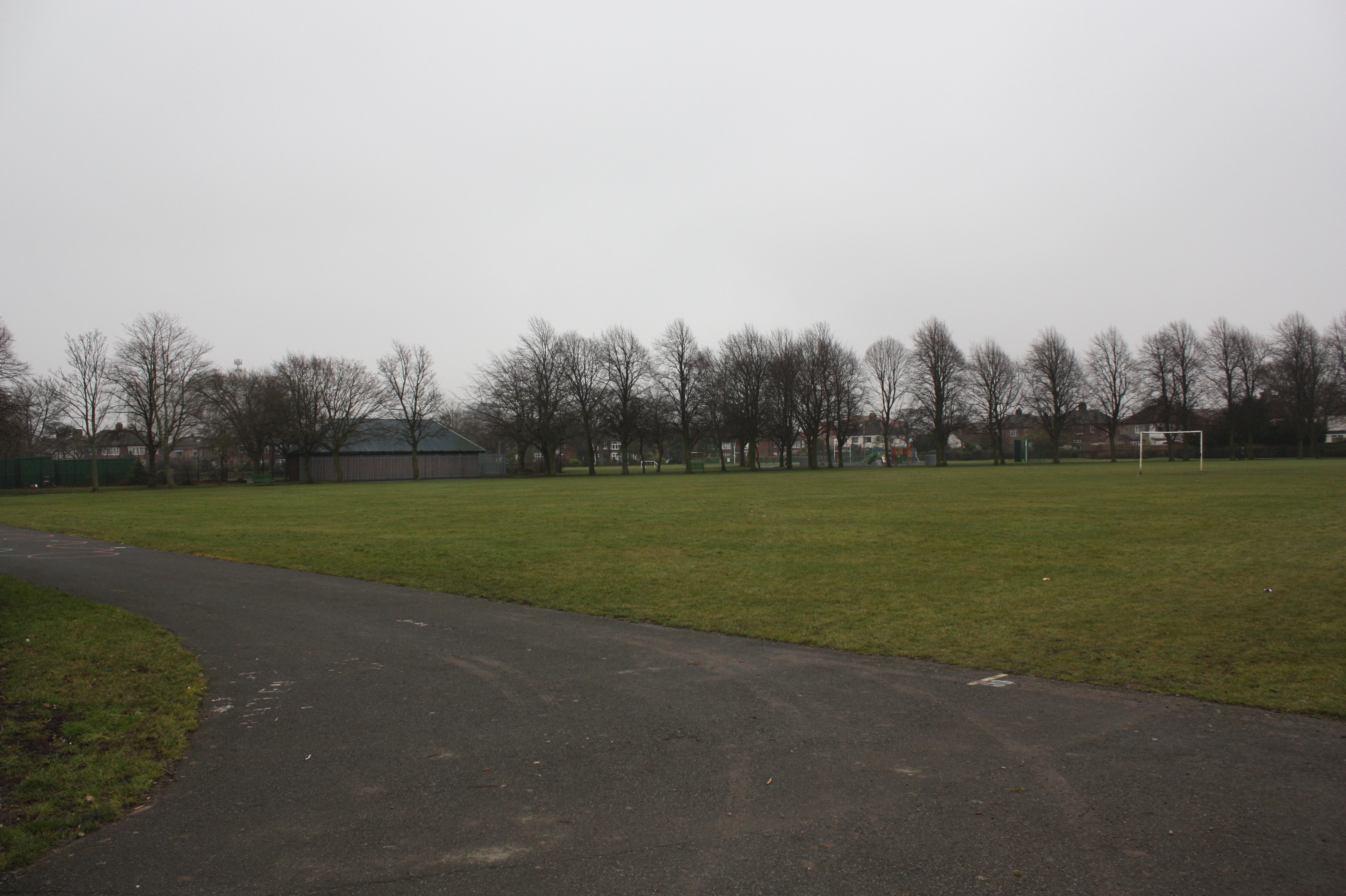
English: Village Park in Thornaby-on-Tees This photograph shows a view of a part of Village Park which is located in the central part of Thornaby-on-Tees - just east of the River Tees and the A1045 road. This picture was taken from the Park Road entrance looking in a south-easterly direction towards Stainsby Grange Farm.
|
| ⧼wm-license-information-date⧽ | 2010 |
| ⧼wm-license-information-source⧽ | From geograph.org.uk |
| ⧼wm-license-information-author⧽ | Philip Barker |
| ⧼wm-license-cc-attribution⧽ (قالب:I18n/Credit line) |
Philip Barker / Village Park in Thornaby-on-Tees / |
54°32′32″N 1°18′01″W / 54.542156°N 1.30034°W قالب:Object location
_heading:135)
ترخيص
تاريخ الملف
اضغط على زمن/تاريخ لرؤية الملف كما بدا في هذا الزمن.
| زمن/تاريخ | صورة مصغرة | الأبعاد | مستخدم | تعليق | |
|---|---|---|---|---|---|
| حالي | ★ مراجعة معتمدة 03:39، 17 أكتوبر 2023 | | 3٬088 × 2٬056 (2٫51 ميجابايت) | Pastakhov (نقاش | مساهمات) | Upload https://upload.wikimedia.org/wikipedia/commons/9/90/Village_Park_in_Thornaby-on-Tees_-_geograph.org.uk_-_1713334.jpg |
لا يمكنك استبدال هذا الملف.
وصلات
لا يوجد صفحات تصل لهذه الصورة.