ملف:Vernouillet vue aérienne.JPG

حجم هذه المعاينة: 800 × 533 بكسل. البعدان الآخران: 2٬560 × 1٬707 بكسل | 5٬184 × 3٬456 بكسل.
الملف الأصلي (5٬184 × 3٬456 بكسل حجم الملف: 15٫45 ميجابايت، نوع MIME: image/jpeg)
وصف قصير
| ⧼wm-license-information-description⧽ |
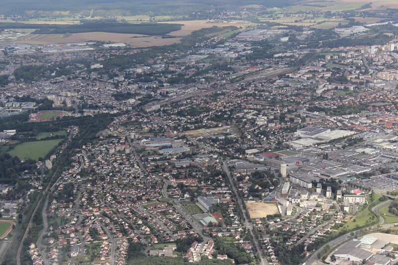
Français : Vue aérienne de Vernouillet et du Sud-Ouest de Dreux
|
| ⧼wm-license-information-date⧽ | 2014, {{time}} – invalid date format 26 (help) |
| ⧼wm-license-information-source⧽ | ⧼Wm-license-own-work⧽ |
| ⧼wm-license-information-author⧽ | Varmin |
48°42′25.47″N 1°21′5.06″E / 48.7070750°N 1.3514056°E
ترخيص
|
تاريخ الملف
اضغط على زمن/تاريخ لرؤية الملف كما بدا في هذا الزمن.
| زمن/تاريخ | صورة مصغرة | الأبعاد | مستخدم | تعليق | |
|---|---|---|---|---|---|
| حالي | ★ مراجعة معتمدة 13:15، 3 نوفمبر 2023 | | 5٬184 × 3٬456 (15٫45 ميجابايت) | Pastakhov (نقاش | مساهمات) | Upload https://upload.wikimedia.org/wikipedia/commons/a/a9/Vernouillet_vue_a%C3%A9rienne.JPG |
لا يمكنك استبدال هذا الملف.
وصلات
لا يوجد صفحات تصل لهذه الصورة.