ملف:Vatican City location map.svg

حجم معاينة PNG لذلك الملف ذي الامتداد SVG: 714 × 599 بكسل. البعد الآخر: 2٬440 × 2٬048 بكسل.
الملف الأصلي (ملف SVG، أبعاده 1٬400 × 1٬175 بكسل، حجم الملف: 50 كيلوبايت)
وصف قصير
| ⧼wm-license-information-description⧽ |
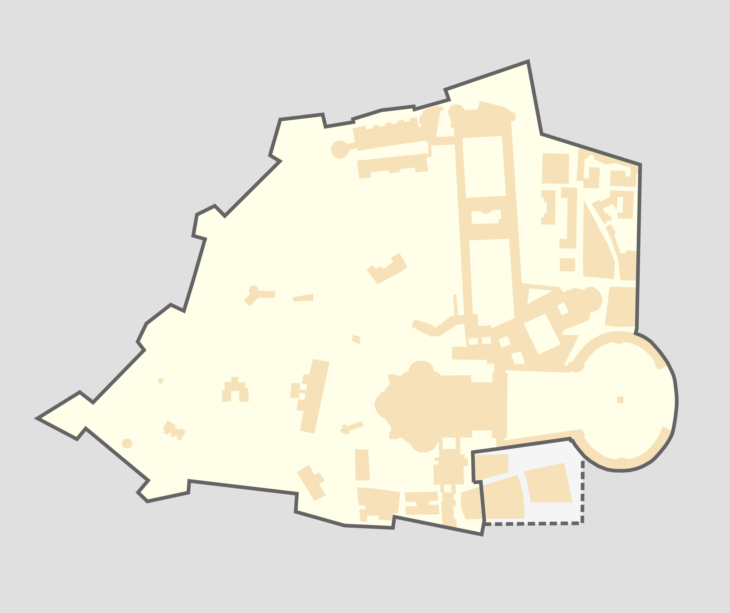
Deutsch: Positionskarte Vatikanstadt, Quadratische Plattkarte, N-S-Streckung 130 %. Geographische Begrenzung der Karte:
English: Location map Vatican City, Equirectangular projection, N/S stretching 130 %. Geographic limits of the map:
|
| ⧼wm-license-information-date⧽ | 2010 |
| ⧼wm-license-information-source⧽ | ⧼Wm-license-own-work⧽, OpenStreetMap, File:Citta del Vaticano.svg |
| ⧼wm-license-information-author⧽ | User:darkvador |
| ⧼wm-license-information-permission⧽ (⧼wm-license-information-permission-reusing-text⧽) |
All OpenStreetMap data and maps are Creative Commons "CC-BY-SA 2.0" licensed |
| ⧼wm-license-information-other-versions⧽ |
ترخيص
|

تاريخ الملف
اضغط على زمن/تاريخ لرؤية الملف كما بدا في هذا الزمن.
| زمن/تاريخ | صورة مصغرة | الأبعاد | مستخدم | تعليق | |
|---|---|---|---|---|---|
| حالي | ★ مراجعة معتمدة 10:01، 12 يناير 2024 | | 1٬400 × 1٬175 (50 كيلوبايت) | Pastakhov (نقاش | مساهمات) | Upload https://upload.wikimedia.org/wikipedia/commons/f/fa/Vatican_City_location_map.svg |
لا يمكنك استبدال هذا الملف.
وصلات
الصفحات التالية تحتوي على وصلة لهذه الصورة: