ملف:Vallance Road, E2 - geograph.org.uk - 395529.jpg
لا توجد دقة أعلى متوفرة.
Vallance_Road,_E2_-_geograph.org.uk_-_395529.jpg (640 × 480 بكسل حجم الملف: 141 كيلوبايت، نوع MIME: image/jpeg)
وصف قصير
| ⧼wm-license-information-description⧽ |
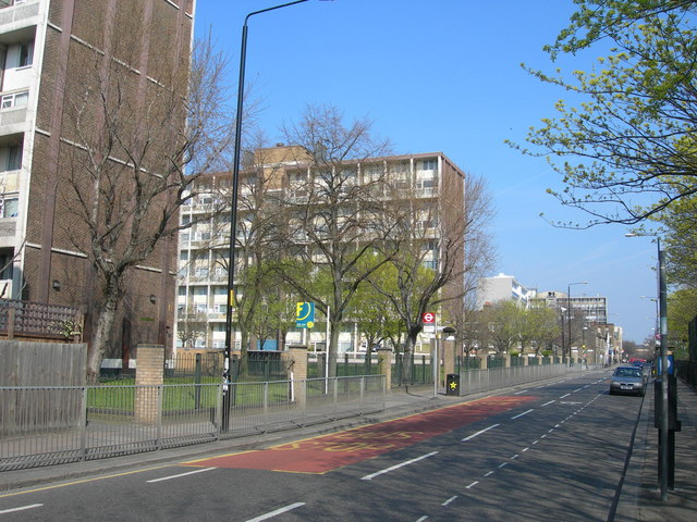
English: Vallance Road, E2 This is the section north of the intersection with Cheshire Street / Dunbridge Street. The Kray brothers (who famously went on to lead a violent criminal gang in the 1960s) were raised in this area but the house itself no longer exists.
|
| ⧼wm-license-information-date⧽ | 2007 |
| ⧼wm-license-information-source⧽ | From geograph.org.uk |
| ⧼wm-license-information-author⧽ | Danny Robinson |
51°31′28″N 0°03′51″W / 51.52449°N 0.0643°W قالب:Object location
_heading:315)
ترخيص
تاريخ الملف
اضغط على زمن/تاريخ لرؤية الملف كما بدا في هذا الزمن.
| زمن/تاريخ | صورة مصغرة | الأبعاد | مستخدم | تعليق | |
|---|---|---|---|---|---|
| حالي | ★ مراجعة معتمدة 01:58، 16 أكتوبر 2023 | | 640 × 480 (141 كيلوبايت) | Pastakhov (نقاش | مساهمات) | Upload https://upload.wikimedia.org/wikipedia/commons/e/e6/Vallance_Road%2C_E2_-_geograph.org.uk_-_395529.jpg |
لا يمكنك استبدال هذا الملف.
وصلات
لا يوجد صفحات تصل لهذه الصورة.