ملف:VIC Bass District 2014.png
لا توجد دقة أعلى متوفرة.
VIC_Bass_District_2014.png (800 × 600 بكسل حجم الملف: 71 كيلوبايت، نوع MIME: image/png)
وصف قصير
| ⧼wm-license-information-description⧽ |
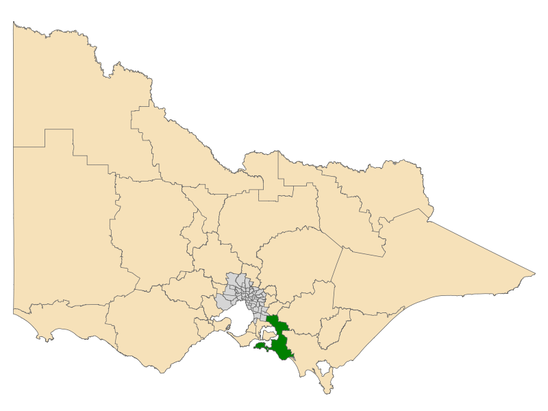
English: Location of the Electoral District of Bass (dark green) in the state of Victoria, Australia. These boundaries were used for the Victorian state election on 29 November 2014.
|
| ⧼wm-license-information-date⧽ | 2014, {{time}} – invalid date format 16 (help) |
| ⧼wm-license-information-source⧽ | ⧼Wm-license-own-work⧽ |
| ⧼wm-license-information-author⧽ | Canley |
Derived using spatial data from Vicmap Admin, released as Creative Commons Attribution 3.0 Australia.
ترخيص
|
تاريخ الملف
اضغط على زمن/تاريخ لرؤية الملف كما بدا في هذا الزمن.
| زمن/تاريخ | صورة مصغرة | الأبعاد | مستخدم | تعليق | |
|---|---|---|---|---|---|
| حالي | ★ مراجعة معتمدة 21:41، 14 أكتوبر 2023 | | 800 × 600 (71 كيلوبايت) | Pastakhov (نقاش | مساهمات) | Upload https://upload.wikimedia.org/wikipedia/commons/6/6f/VIC_Bass_District_2014.png |
لا يمكنك استبدال هذا الملف.
وصلات
لا يوجد صفحات تصل لهذه الصورة.