ملف:Výhled z Čapu, Horní Dubová Hora.jpg
حجم هذه المعاينة: 800 × 600 بكسل. البعدان الآخران: 2٬560 × 1٬920 بكسل | 3٬264 × 2٬448 بكسل.
الملف الأصلي (3٬264 × 2٬448 بكسل حجم الملف: 664 كيلوبايت، نوع MIME: image/jpeg)
| ⧼wm-license-information-description⧽ |
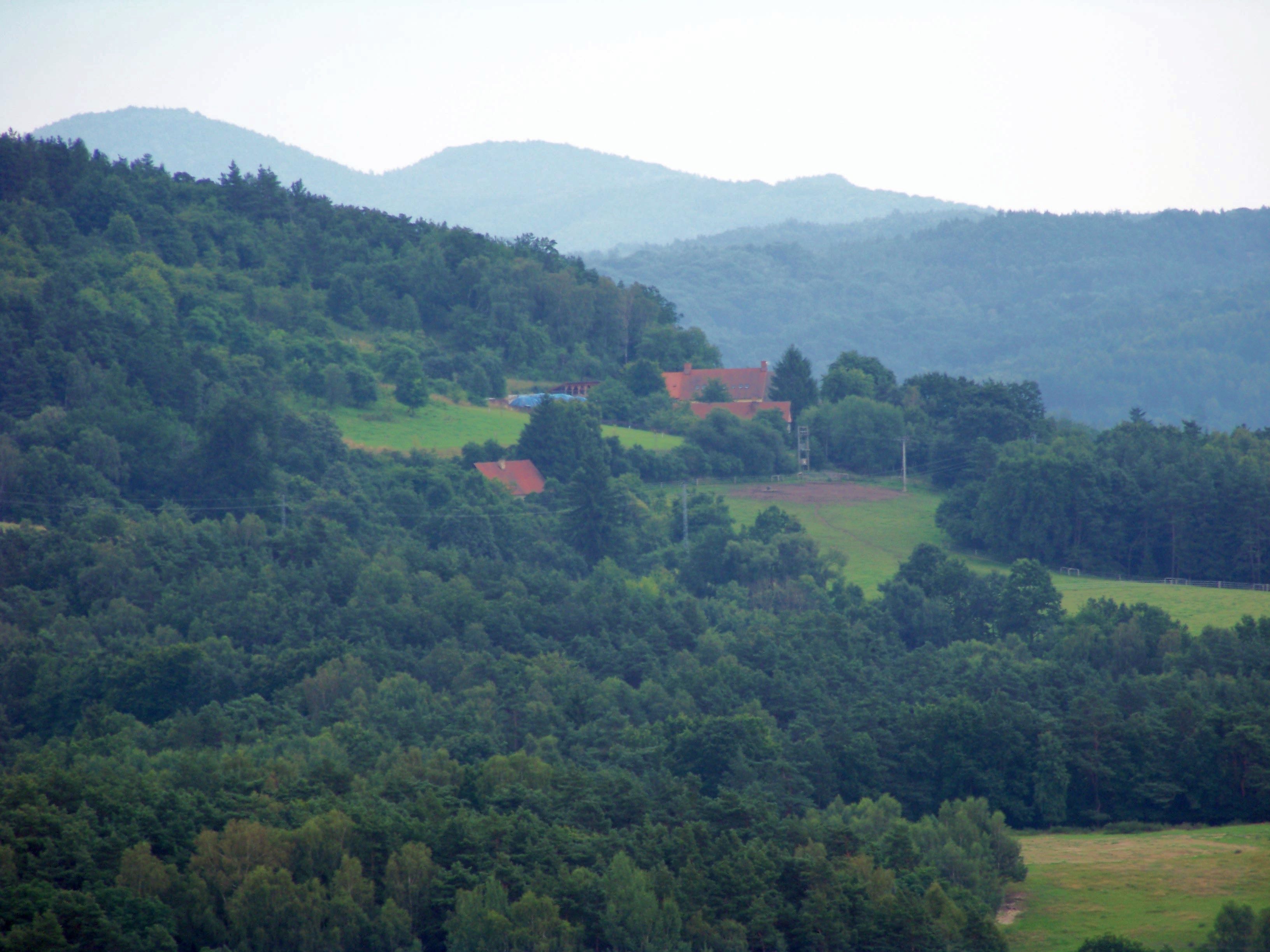
(بالتشيكية) English: View from Čap Hill. Protected Landscape Area of Kokořínsko. (Cadastral area of Zátyní, city of Dubá, Česká Lípa District, Liberec Region, the Czech Republic.)
|
|||
| ⧼wm-license-information-date⧽ | 2010 | |||
| ⧼wm-license-information-source⧽ | ⧼Wm-license-own-work⧽ | |||
| ⧼wm-license-information-author⧽ | ŠJů (cs:ŠJů) | |||
| ⧼wm-license-information-permission⧽ (⧼wm-license-information-permission-reusing-text⧽) |
|
|||
| ⧼wm-license-information-other-versions⧽ |
تاريخ الملف
اضغط على زمن/تاريخ لرؤية الملف كما بدا في هذا الزمن.
| زمن/تاريخ | صورة مصغرة | الأبعاد | مستخدم | تعليق | |
|---|---|---|---|---|---|
| حالي | ★ مراجعة معتمدة 07:26، 10 نوفمبر 2023 | | 3٬264 × 2٬448 (664 كيلوبايت) | Pastakhov (نقاش | مساهمات) | Upload https://upload.wikimedia.org/wikipedia/commons/0/08/V%C3%BDhled_z_%C4%8Capu%2C_Horn%C3%AD_Dubov%C3%A1_Hora.jpg |
لا يمكنك استبدال هذا الملف.
وصلات
لا يوجد صفحات تصل لهذه الصورة.