ملف:Uxbridge Road, West Ealing, London W13 - geograph.org.uk - 142495.jpg
لا توجد دقة أعلى متوفرة.
Uxbridge_Road,_West_Ealing,_London_W13_-_geograph.org.uk_-_142495.jpg (640 × 480 بكسل حجم الملف: 287 كيلوبايت، نوع MIME: image/jpeg)
وصف قصير
| ⧼wm-license-information-description⧽ |
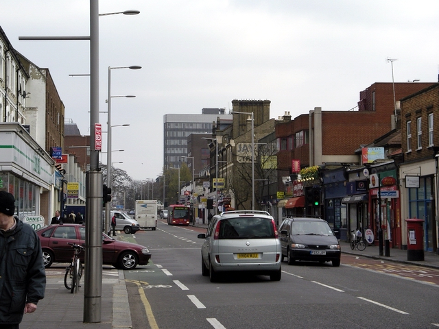
English: Uxbridge Road, West Ealing, London W13. Looking east along the Uxbridge Road towards Ealing Broadway (out of sight). The road joining on the right is Hartington Road. Uxbridge Road is the route of the proposed West London Tram, which is not popular in some parts: http://www.ealingstreets.org
|
| ⧼wm-license-information-date⧽ | 2006 |
| ⧼wm-license-information-source⧽ | From geograph.org.uk |
| ⧼wm-license-information-author⧽ | Peter Jordan |
| ⧼wm-license-cc-attribution⧽ (قالب:I18n/Credit line) |
Peter Jordan / Uxbridge Road, West Ealing, London W13 / |
51°30′39″N 0°19′05″W / 51.5109°N 0.318°W قالب:Object location
)
ترخيص
تاريخ الملف
اضغط على زمن/تاريخ لرؤية الملف كما بدا في هذا الزمن.
| زمن/تاريخ | صورة مصغرة | الأبعاد | مستخدم | تعليق | |
|---|---|---|---|---|---|
| حالي | ★ مراجعة معتمدة 03:13، 14 نوفمبر 2023 | | 640 × 480 (287 كيلوبايت) | Pastakhov (نقاش | مساهمات) | Upload https://upload.wikimedia.org/wikipedia/commons/3/36/Uxbridge_Road%2C_West_Ealing%2C_London_W13_-_geograph.org.uk_-_142495.jpg |
لا يمكنك استبدال هذا الملف.
وصلات
لا يوجد صفحات تصل لهذه الصورة.