ملف:United Kingdom Poland Locator.png
حجم هذه المعاينة: 749 × 599 بكسل. البعد الآخر: 1٬217 × 974 بكسل.
الملف الأصلي (1٬217 × 974 بكسل حجم الملف: 63 كيلوبايت، نوع MIME: image/png)
وصف قصير
| ⧼wm-license-information-description⧽ |
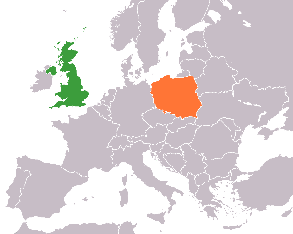
English: Map of Europe indicating the United Kingdom and Poland. For use in :Category:British-Polish relations and similar articles.
|
| ⧼wm-license-information-date⧽ | 2007 |
| ⧼wm-license-information-source⧽ | Own work based on :Image:United Kingdom Greece Locator.png |
| ⧼wm-license-information-author⧽ | Dancingwombatsrule (talk) |
ترخيص
قالب:Original upload log
| زمن/تاريخ | الأبعاد | مستخدم | تعليق |
|---|---|---|---|
| 2007-12-17 12:55 | 1217×974× (65022 bytes) | Dancingwombatsrule | Actually Removed it this time |
| 2007-12-17 12:54 | 1217×974× (65034 bytes) | Dancingwombatsrule | Removed island of the coast of Italy from Poland |
| 2007-12-17 12:52 | 1217×974× (65034 bytes) | Dancingwombatsrule | == Summary == '''Description:''' Map of [[Europe]] indicating the [[United Kingdom]] and [[Poland]]. For use in [[Category:British-Polish relations]] and similar articles. '''Source:''' Own work based on [[:Image:United Kingdom Greece Locator.png]] '' |
| 2007-07-23 15:40 | 1357×628× (47463 bytes) | Dancingwombatsrule | Description: Map of the world indicating the United Kingdom and Poland. For use in [[Category:British-Polish relations]] and similar articles. Source: Own work based on Image:BlankMap-World-v5.png Date: 23rd July 2007 Author: [[User:Dancingwombatsrule] |
تاريخ الملف
اضغط على زمن/تاريخ لرؤية الملف كما بدا في هذا الزمن.
| زمن/تاريخ | صورة مصغرة | الأبعاد | مستخدم | تعليق | |
|---|---|---|---|---|---|
| حالي | ★ مراجعة معتمدة 04:04، 9 ديسمبر 2023 | | 1٬217 × 974 (63 كيلوبايت) | Pastakhov (نقاش | مساهمات) | Upload https://upload.wikimedia.org/wikipedia/commons/f/f9/United_Kingdom_Poland_Locator.png |
لا يمكنك استبدال هذا الملف.
وصلات
لا يوجد صفحات تصل لهذه الصورة.