ملف:USACE Martins Fork Dam and Lake.jpg
حجم هذه المعاينة: 800 × 534 بكسل. البعد الآخر: 1٬500 × 1٬001 بكسل.
الملف الأصلي (1٬500 × 1٬001 بكسل حجم الملف: 623 كيلوبايت، نوع MIME: image/jpeg)
| ⧼wm-license-information-description⧽ |
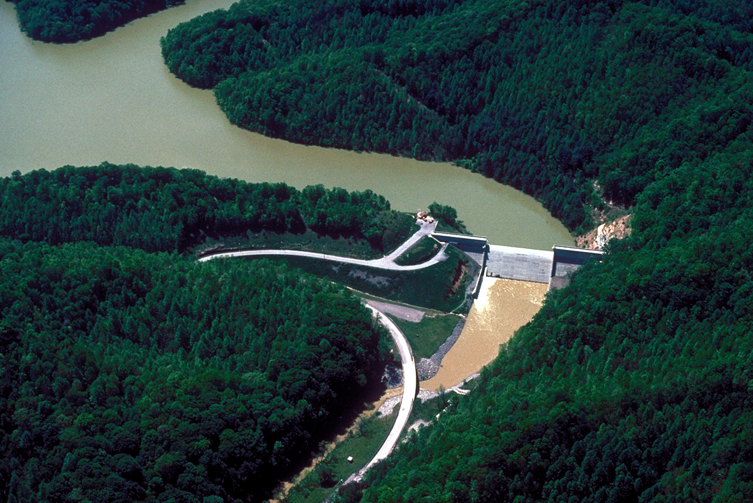
English: Aerial view of Martins Fork Dam and Lake on the Martins Fork branch of the Cumberland River in Harlan County, Kentucky, USA. The U.S. Army Corps of Engineers constructed the dam for water storage and flood control between 1973–1978. The project was completed and the lake was impounded in December 1978. The dam is 97 feet (30 m) high and 504 feet (154 m) wide. There is no hydroelectric power plant at the dam.
|
| ⧼wm-license-information-date⧽ | not specified or unknown |
| ⧼wm-license-information-source⧽ | U.S. Army Corps of Engineers Digital Visual Library Image page Image description page Digital Visual Library home page |
| ⧼wm-license-information-author⧽ | George Green, U.S. Army Corps of Engineers |
| ⧼wm-license-information-permission⧽ (⧼wm-license-information-permission-reusing-text⧽) |
تاريخ الملف
اضغط على زمن/تاريخ لرؤية الملف كما بدا في هذا الزمن.
| زمن/تاريخ | صورة مصغرة | الأبعاد | مستخدم | تعليق | |
|---|---|---|---|---|---|
| حالي | ★ مراجعة معتمدة 09:12، 10 نوفمبر 2023 | | 1٬500 × 1٬001 (623 كيلوبايت) | Pastakhov (نقاش | مساهمات) | Upload https://upload.wikimedia.org/wikipedia/commons/e/e0/USACE_Martins_Fork_Dam_and_Lake.jpg |
لا يمكنك استبدال هذا الملف.
وصلات
لا يوجد صفحات تصل لهذه الصورة.