ملف:Timgad Ruins Panorama.jpg

حجم هذه المعاينة: 800 × 262 بكسل. البعد الآخر: 2٬400 × 786 بكسل.
الملف الأصلي (2٬400 × 786 بكسل حجم الملف: 1٫03 ميجابايت، نوع MIME: image/jpeg)
وصف قصير
| ⧼wm-license-information-description⧽ |
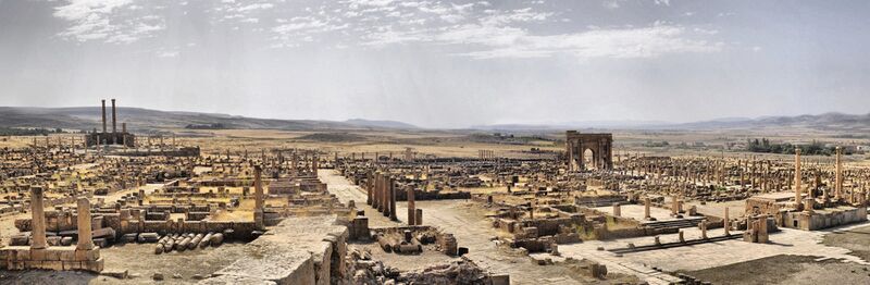
Français : Territoires et monuments de l'antique Thamugadi., قالب:Cultural Heritage Algeria
|
| ⧼wm-license-information-date⧽ | 2014, {{time}} – invalid date format 42 (help) |
| ⧼wm-license-information-source⧽ | ⧼Wm-license-own-work⧽ |
| ⧼wm-license-information-author⧽ | Hamza-sia |
35°29′04″N 6°28′08″E / 35.48443°N 6.469°E
ترخيص
|
تاريخ الملف
اضغط على زمن/تاريخ لرؤية الملف كما بدا في هذا الزمن.
| زمن/تاريخ | صورة مصغرة | الأبعاد | مستخدم | تعليق | |
|---|---|---|---|---|---|
| حالي | ★ مراجعة معتمدة 19:02، 17 نوفمبر 2023 | 2٬400 × 786 (1٫03 ميجابايت) | Pastakhov (نقاش | مساهمات) | Upload https://upload.wikimedia.org/wikipedia/commons/a/ab/Timgad_Ruins_Panorama.jpg |
لا يمكنك استبدال هذا الملف.
وصلات
لا يوجد صفحات تصل لهذه الصورة.