ملف:The Geddes trout fishery - geograph.org.uk - 672430.jpg
لا توجد دقة أعلى متوفرة.
The_Geddes_trout_fishery_-_geograph.org.uk_-_672430.jpg (640 × 426 بكسل حجم الملف: 141 كيلوبايت، نوع MIME: image/jpeg)
وصف قصير
| ⧼wm-license-information-description⧽ |
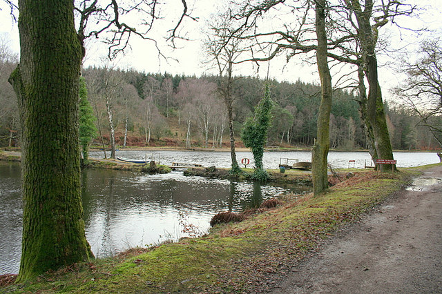
English: The Geddes trout fishery A well stocked and beautifully situated fishery which has qualified as a Troutmaster Loch in that its size and quality meet the standards set nationally. Rainbow and Brown trout can be found in these waters.
|
| ⧼wm-license-information-date⧽ | 2008 |
| ⧼wm-license-information-source⧽ | From geograph.org.uk |
| ⧼wm-license-information-author⧽ | Des Colhoun |
| ⧼wm-license-cc-attribution⧽ (قالب:I18n/Credit line) |
Des Colhoun / The Geddes trout fishery / |
57°32′54″N 3°51′28″W / 57.54843°N 3.8578°W قالب:Object location
_heading:180)
ترخيص
تاريخ الملف
اضغط على زمن/تاريخ لرؤية الملف كما بدا في هذا الزمن.
| زمن/تاريخ | صورة مصغرة | الأبعاد | مستخدم | تعليق | |
|---|---|---|---|---|---|
| حالي | ★ مراجعة معتمدة 20:36، 2 نوفمبر 2023 | | 640 × 426 (141 كيلوبايت) | Pastakhov (نقاش | مساهمات) | Upload https://upload.wikimedia.org/wikipedia/commons/c/c4/The_Geddes_trout_fishery_-_geograph.org.uk_-_672430.jpg |
لا يمكنك استبدال هذا الملف.
وصلات
لا يوجد صفحات تصل لهذه الصورة.