ملف:The Fens from Sheepwash Crossing - geograph.org.uk - 1353036.jpg
لا توجد دقة أعلى متوفرة.
The_Fens_from_Sheepwash_Crossing_-_geograph.org.uk_-_1353036.jpg (640 × 426 بكسل حجم الملف: 117 كيلوبايت، نوع MIME: image/jpeg)
وصف قصير
| ⧼wm-license-information-description⧽ |
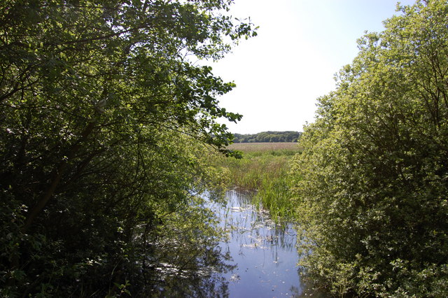
English: The Fens from Sheepwash Crossing The bridge on the former Saxmundham to Aldeburgh rail line crosses the cut from the bird reserve fen that feeds the Meare
|
| ⧼wm-license-information-date⧽ | 2009 |
| ⧼wm-license-information-source⧽ | From geograph.org.uk |
| ⧼wm-license-information-author⧽ | John Myers |
| ⧼wm-license-cc-attribution⧽ (قالب:I18n/Credit line) |
John Myers / The Fens from Sheepwash Crossing / |
52°10′49″N 1°36′00″E / 52.18025°N 1.5999°E قالب:Object location
_heading:270)
ترخيص
تاريخ الملف
اضغط على زمن/تاريخ لرؤية الملف كما بدا في هذا الزمن.
| زمن/تاريخ | صورة مصغرة | الأبعاد | مستخدم | تعليق | |
|---|---|---|---|---|---|
| حالي | ★ مراجعة معتمدة 06:23، 10 نوفمبر 2023 | | 640 × 426 (117 كيلوبايت) | Pastakhov (نقاش | مساهمات) | Upload https://upload.wikimedia.org/wikipedia/commons/b/b1/The_Fens_from_Sheepwash_Crossing_-_geograph.org.uk_-_1353036.jpg |
لا يمكنك استبدال هذا الملف.
وصلات
لا يوجد صفحات تصل لهذه الصورة.