ملف:The Cadnant estuary and Ynys Gaint - geograph.org.uk - 441314.jpg
لا توجد دقة أعلى متوفرة.
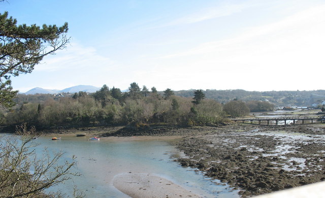
The_Cadnant_estuary_and_Ynys_Gaint_-_geograph.org.uk_-_441314.jpg (640 × 389 بكسل حجم الملف: 73 كيلوبايت، نوع MIME: image/jpeg)
وصف قصير
| ⧼wm-license-information-description⧽ |
English: The Cadnant estuary and Ynys Gaint
|
| ⧼wm-license-information-date⧽ | 2007 |
| ⧼wm-license-information-source⧽ | From geograph.org.uk |
| ⧼wm-license-information-author⧽ | Eric Jones |
| ⧼wm-license-cc-attribution⧽ (قالب:I18n/Credit line) |
Eric Jones / The Cadnant estuary and Ynys Gaint / |
53°13′58″N 4°09′28″W / 53.23290°N 4.1579°W قالب:Object location
_heading:157)
ترخيص
تاريخ الملف
اضغط على زمن/تاريخ لرؤية الملف كما بدا في هذا الزمن.
| زمن/تاريخ | صورة مصغرة | الأبعاد | مستخدم | تعليق | |
|---|---|---|---|---|---|
| حالي | ★ مراجعة معتمدة 21:09، 6 أكتوبر 2023 | | 640 × 389 (73 كيلوبايت) | Pastakhov (نقاش | مساهمات) | Upload https://upload.wikimedia.org/wikipedia/commons/5/5b/The_Cadnant_estuary_and_Ynys_Gaint_-_geograph.org.uk_-_441314.jpg |
لا يمكنك استبدال هذا الملف.
وصلات
لا يوجد صفحات تصل لهذه الصورة.