ملف:Suriname location map Topographic.png
حجم هذه المعاينة: 588 × 599 بكسل. البعد الآخر: 910 × 927 بكسل.
الملف الأصلي (910 × 927 بكسل حجم الملف: 1٫71 ميجابايت، نوع MIME: image/png)
وصف قصير
| ⧼wm-license-information-description⧽ |
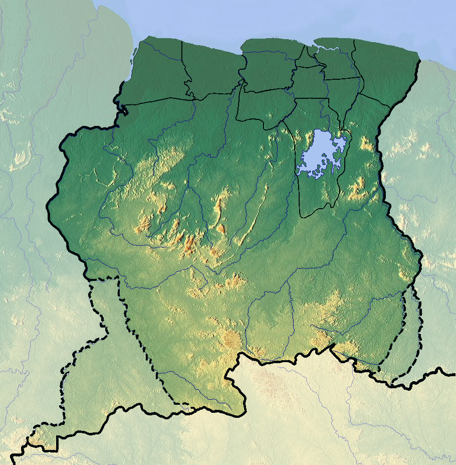
Deutsch: Positionskarte von Suriname
Quadratische Plattkarte. Geographische Begrenzung der Karte:
English: Location map of Suriname
Equirectangular projection. Geographic limits of the map:
|
| ⧼wm-license-information-date⧽ | 2012 |
| ⧼wm-license-information-source⧽ | ⧼Wm-license-own-work⧽ (background : http://www.maps-for-free.com) |
| ⧼wm-license-information-author⧽ | Dr Brains |
ترخيص
تاريخ الملف
اضغط على زمن/تاريخ لرؤية الملف كما بدا في هذا الزمن.
| زمن/تاريخ | صورة مصغرة | الأبعاد | مستخدم | تعليق | |
|---|---|---|---|---|---|
| حالي | ★ مراجعة معتمدة 18:09، 20 أكتوبر 2023 | | 910 × 927 (1٫71 ميجابايت) | Pastakhov (نقاش | مساهمات) | Upload https://upload.wikimedia.org/wikipedia/commons/d/dd/Suriname_location_map_Topographic.png |
لا يمكنك استبدال هذا الملف.
وصلات
لا يوجد صفحات تصل لهذه الصورة.