ملف:Strathoykel at Tuiteam Tarbhach.jpg

حجم هذه المعاينة: 800 × 598 بكسل. البعدان الآخران: 2٬560 × 1٬915 بكسل | 2٬866 × 2٬144 بكسل.
الملف الأصلي (2٬866 × 2٬144 بكسل حجم الملف: 2٫66 ميجابايت، نوع MIME: image/jpeg)
وصف قصير
| ⧼wm-license-information-description⧽ |
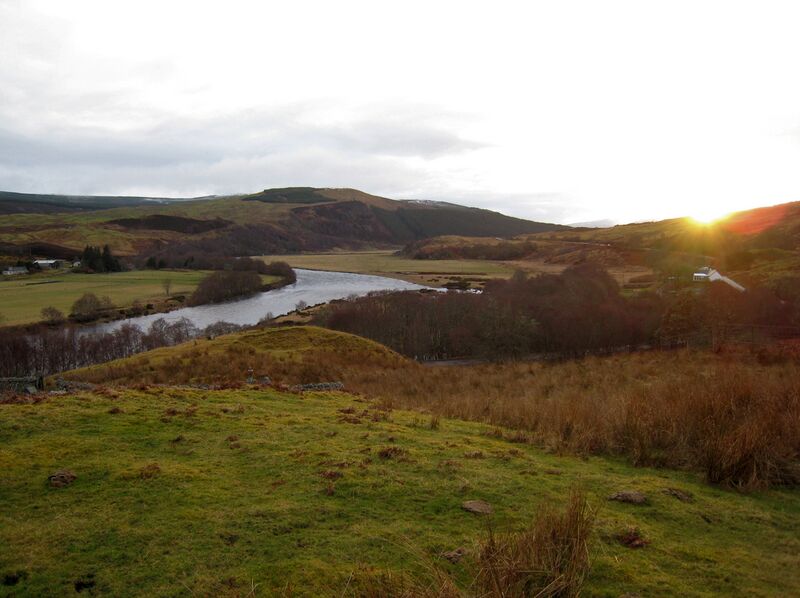
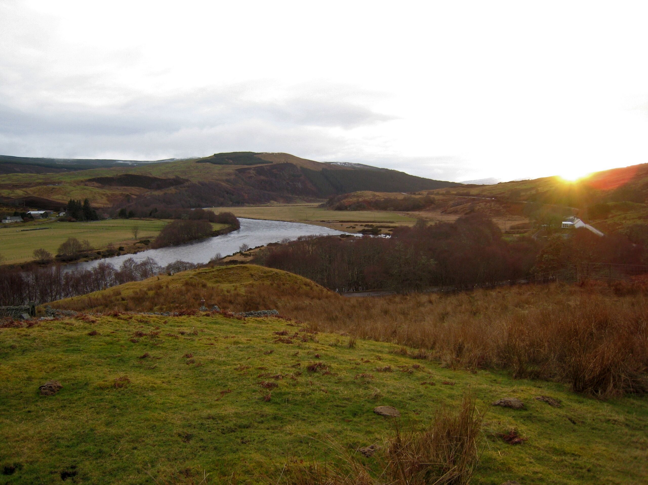
English: View of Strathoykel in northern Scotland looking west (upstream) from Tutim cemetery at sunset. The cemetery wall is in the foreground, Brae farm on the left of the photo, and Tuiteam house on the right. The mouth of the Tutim Burn can be seen entering the River Oykel roughly level with Tuiteam house. The hill is Ben Chreagach. The site is notable for the en:Battle of Tuiteam Tarbhach which took place around Tuiteam house in about 1406.
|
| ⧼wm-license-information-date⧽ | 2009 |
| ⧼wm-license-information-source⧽ | ⧼Wm-license-own-work⧽ |
| ⧼wm-license-information-author⧽ | Le Deluge |
57°58′32″N 4°38′45″W / 57.97556°N 4.64583°W
ترخيص
|
تاريخ الملف
اضغط على زمن/تاريخ لرؤية الملف كما بدا في هذا الزمن.
| زمن/تاريخ | صورة مصغرة | الأبعاد | مستخدم | تعليق | |
|---|---|---|---|---|---|
| حالي | ★ مراجعة معتمدة 01:00، 3 نوفمبر 2023 | | 2٬866 × 2٬144 (2٫66 ميجابايت) | Pastakhov (نقاش | مساهمات) | Upload https://upload.wikimedia.org/wikipedia/commons/6/69/Strathoykel_at_Tuiteam_Tarbhach.jpg |
لا يمكنك استبدال هذا الملف.
وصلات
لا يوجد صفحات تصل لهذه الصورة.