ملف:Stockholms skärgård annotated.png

حجم هذه المعاينة: 514 × 600 بكسل. البعدان الآخران: 1٬755 × 2٬048 بكسل | 3٬000 × 3٬500 بكسل.
الملف الأصلي (3٬000 × 3٬500 بكسل حجم الملف: 3٫2 ميجابايت، نوع MIME: image/png)
وصف قصير
| ⧼wm-license-information-description⧽ |
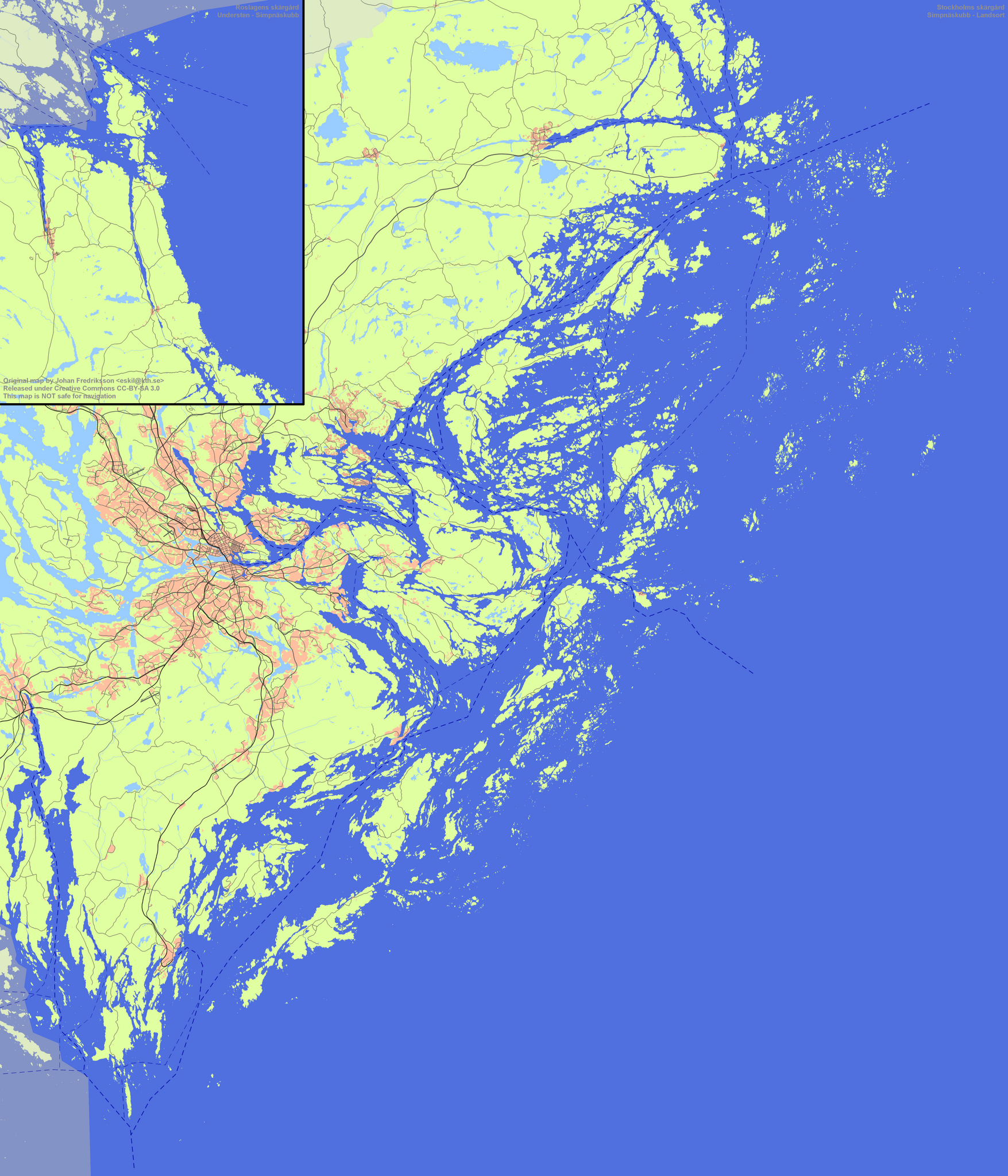
English: Overview map of Stockholm archipelago
This map is not safe for navigation! Svenska: Översiktskarta över Stockholms skärgård
Kartan får inte användas för navigation! |
|||
| ⧼wm-license-information-date⧽ | 2010 | |||
| ⧼wm-license-information-source⧽ | ⧼Wm-license-own-work⧽ | |||
| ⧼wm-license-information-author⧽ | Esquilo | |||
| ⧼wm-license-information-permission⧽ (⧼wm-license-information-permission-reusing-text⧽) |
|
تاريخ الملف
اضغط على زمن/تاريخ لرؤية الملف كما بدا في هذا الزمن.
| زمن/تاريخ | صورة مصغرة | الأبعاد | مستخدم | تعليق | |
|---|---|---|---|---|---|
| حالي | ★ مراجعة معتمدة 04:55، 28 نوفمبر 2023 | | 3٬000 × 3٬500 (3٫2 ميجابايت) | Pastakhov (نقاش | مساهمات) | Upload https://upload.wikimedia.org/wikipedia/commons/5/5c/Stockholms_sk%C3%A4rg%C3%A5rd_annotated.png |
لا يمكنك استبدال هذا الملف.
وصلات
لا يوجد صفحات تصل لهذه الصورة.