ملف:Stadtteilkarte Koblenz-Lay.png
حجم هذه المعاينة: 643 × 599 بكسل. البعد الآخر: 650 × 606 بكسل.
الملف الأصلي (650 × 606 بكسل حجم الملف: 237 كيلوبايت، نوع MIME: image/png)
وصف قصير
| ⧼wm-license-information-description⧽ |
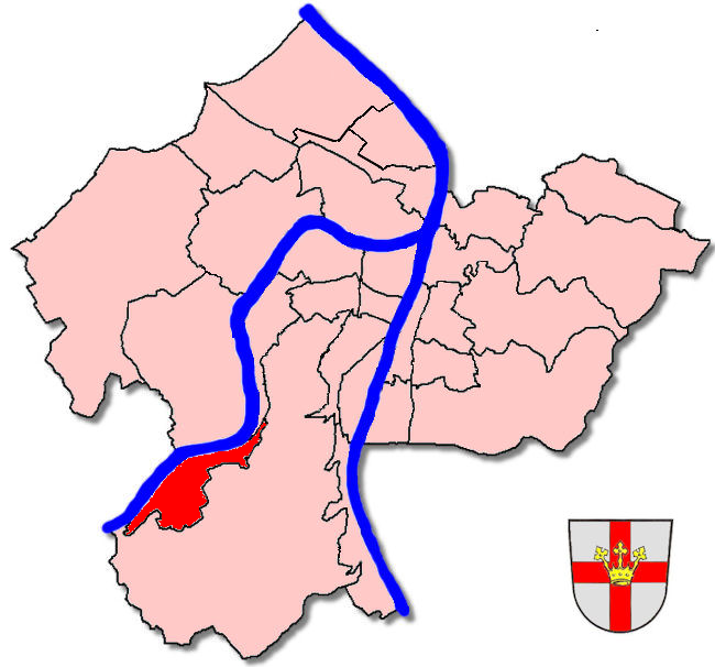
Deutsch: Stadtteilkarte von Koblenz-Lay
|
| ⧼wm-license-information-date⧽ | 2005 |
| ⧼wm-license-information-source⧽ | ⧼Wm-license-own-work⧽ (قالب:Original caption) |
| ⧼wm-license-information-author⧽ | قالب:User at project |
ترخيص
قالب:Original upload log
قالب:Transferred from قالب:Original description page
- 2008-10-25 20:20 Schaengel 650×606× (243071 bytes) Kleine Fehler korrigiert
- 2008-10-25 20:03 Schaengel 650×606× (119166 bytes) Kleine Fehler korrigiert
- 2006-06-08 19:35 Schaengel 650×606× (119146 bytes) Karte berichtigt
- 2005-12-25 21:05 Schaengel 650×606× (105419 bytes) * '''Beschreibung:''' Stadtteilkarte von [[Koblenz-Lay]] * '''Quelle:''' selbst erstellt * '''Fotograf:''' [[Benutzer:Schaengel|Holger Weinandt]] * '''Datum der Erstellung:''' 25.12.2005 {{Bild-GFDL}}
تاريخ الملف
اضغط على زمن/تاريخ لرؤية الملف كما بدا في هذا الزمن.
| زمن/تاريخ | صورة مصغرة | الأبعاد | مستخدم | تعليق | |
|---|---|---|---|---|---|
| حالي | ★ مراجعة معتمدة 17:26، 27 أكتوبر 2023 | | 650 × 606 (237 كيلوبايت) | Pastakhov (نقاش | مساهمات) | Upload https://upload.wikimedia.org/wikipedia/commons/6/60/Stadtteilkarte_Koblenz-Lay.png |
لا يمكنك استبدال هذا الملف.
وصلات
لا يوجد صفحات تصل لهذه الصورة.