ملف:St Mary's Church, Llanfair-yn-Neubwll geograph.org.uk 157738.jpg
لا توجد دقة أعلى متوفرة.
St_Mary's_Church,_Llanfair-yn-Neubwll_geograph.org.uk_157738.jpg (640 × 480 بكسل حجم الملف: 69 كيلوبايت، نوع MIME: image/jpeg)
وصف قصير
| ⧼wm-license-information-description⧽ |
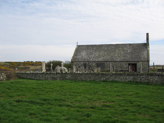
English: Ty'n Llan A view looking to the southeast to the church and cemetery adjacent to the farm at Ty'n Llan. The main railway line is just visible to the left of the picture.
|
| ⧼wm-license-information-date⧽ | 2006 |
| ⧼wm-license-information-source⧽ | From geograph.org.uk |
| ⧼wm-license-information-author⧽ | Phil Williams |
| ⧼wm-license-cc-attribution⧽ (قالب:I18n/Credit line) |
Phil Williams / Ty'n Llan / |
53°16′13″N 4°33′22″W / 53.2702°N 4.556°W قالب:Object location
_heading:157)
ترخيص
تاريخ الملف
اضغط على زمن/تاريخ لرؤية الملف كما بدا في هذا الزمن.
| زمن/تاريخ | صورة مصغرة | الأبعاد | مستخدم | تعليق | |
|---|---|---|---|---|---|
| حالي | ★ مراجعة معتمدة 09:23، 14 أكتوبر 2023 | | 640 × 480 (69 كيلوبايت) | Pastakhov (نقاش | مساهمات) | Upload https://upload.wikimedia.org/wikipedia/commons/f/fa/St_Mary%27s_Church%2C_Llanfair-yn-Neubwll_geograph.org.uk_157738.jpg |
لا يمكنك استبدال هذا الملف.
وصلات
لا يوجد صفحات تصل لهذه الصورة.