ملف:South side of Llangennech Community Centre and Library - geograph.org.uk - 4623831.jpg
لا توجد دقة أعلى متوفرة.
South_side_of_Llangennech_Community_Centre_and_Library_-_geograph.org.uk_-_4623831.jpg (800 × 537 بكسل حجم الملف: 100 كيلوبايت، نوع MIME: image/jpeg)
وصف قصير
| ⧼wm-license-information-description⧽ |
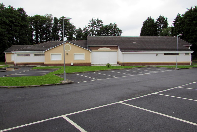
English: South side of Llangennech Community Centre and Library
Located 100 metres west of Bridge Street and Hendre Road. The year 2008 is inscribed on a roundel on the building. |
| ⧼wm-license-information-date⧽ | 2015 |
| ⧼wm-license-information-source⧽ | From geograph.org.uk |
| ⧼wm-license-information-author⧽ | Jaggery |
| ⧼wm-license-information-permission⧽ (⧼wm-license-information-permission-reusing-text⧽) |
Creative Commons Attribution Share-alike license 2.0 |
| ⧼wm-license-cc-attribution⧽ (قالب:I18n/Credit line) |
Jaggery / South side of Llangennech Community Centre and Library / |
ترخيص
تاريخ الملف
اضغط على زمن/تاريخ لرؤية الملف كما بدا في هذا الزمن.
| زمن/تاريخ | صورة مصغرة | الأبعاد | مستخدم | تعليق | |
|---|---|---|---|---|---|
| حالي | ★ مراجعة معتمدة 21:54، 17 أكتوبر 2023 | | 800 × 537 (100 كيلوبايت) | Pastakhov (نقاش | مساهمات) | Upload https://upload.wikimedia.org/wikipedia/commons/6/64/South_side_of_Llangennech_Community_Centre_and_Library_-_geograph.org.uk_-_4623831.jpg |
لا يمكنك استبدال هذا الملف.
وصلات
لا يوجد صفحات تصل لهذه الصورة.