ملف:South Fork Eagle River (Colorado).JPG

حجم هذه المعاينة: 800 × 585 بكسل. البعدان الآخران: 2٬560 × 1٬872 بكسل | 5٬471 × 4٬000 بكسل.
الملف الأصلي (5٬471 × 4٬000 بكسل حجم الملف: 14٫06 ميجابايت، نوع MIME: image/jpeg)
وصف قصير
| ⧼wm-license-information-description⧽ |
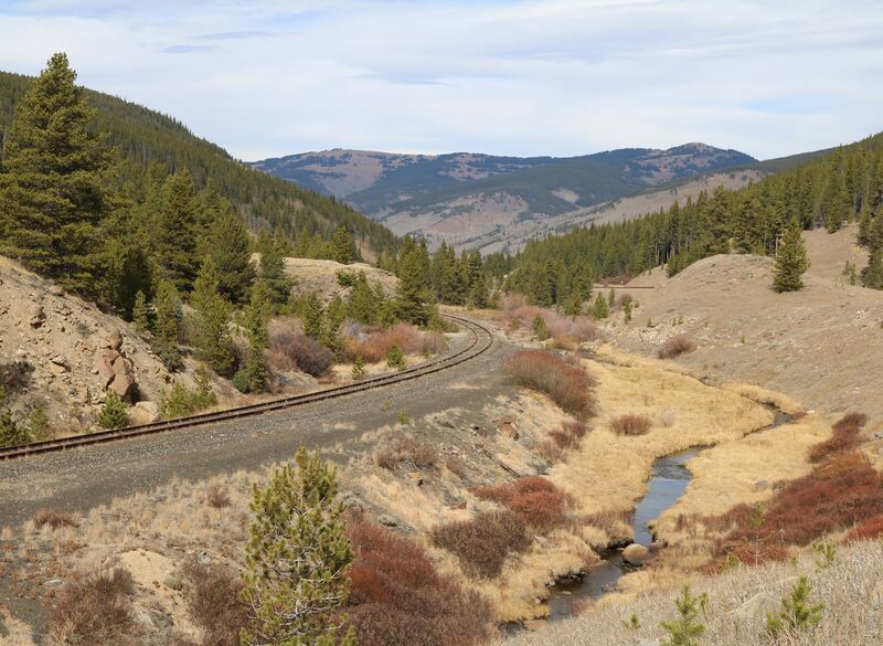
English: The South Fork Eagle River between Tennessee Pass and Camp Hale in Eagle County, Colorado. The view is towards the north.
|
| ⧼wm-license-information-date⧽ | 2020 |
| ⧼wm-license-information-source⧽ | ⧼Wm-license-own-work⧽ |
| ⧼wm-license-information-author⧽ | Jeffrey Beall |
39°23′28.48″N 106°19′8.9″W / 39.3912444°N 106.319139°W
.JPG¶ms=39_23_28.48_N_106_19_8.9_W_)
ترخيص
تاريخ الملف
اضغط على زمن/تاريخ لرؤية الملف كما بدا في هذا الزمن.
| زمن/تاريخ | صورة مصغرة | الأبعاد | مستخدم | تعليق | |
|---|---|---|---|---|---|
| حالي | ★ مراجعة معتمدة 06:35، 14 أكتوبر 2023 | | 5٬471 × 4٬000 (14٫06 ميجابايت) | Pastakhov (نقاش | مساهمات) | Upload https://upload.wikimedia.org/wikipedia/commons/d/d8/South_Fork_Eagle_River_%28Colorado%29.JPG |
لا يمكنك استبدال هذا الملف.
وصلات
لا يوجد صفحات تصل لهذه الصورة.
.JPG&oldid=3112529)