ملف:Sot River Below The Confluence With Lunka.jpg
حجم هذه المعاينة: 800 × 534 بكسل. البعدان الآخران: 2٬560 × 1٬708 بكسل | 6٬388 × 4٬263 بكسل.
الملف الأصلي (6٬388 × 4٬263 بكسل حجم الملف: 36٫41 ميجابايت، نوع MIME: image/jpeg)
وصف قصير
| ⧼wm-license-information-description⧽ |
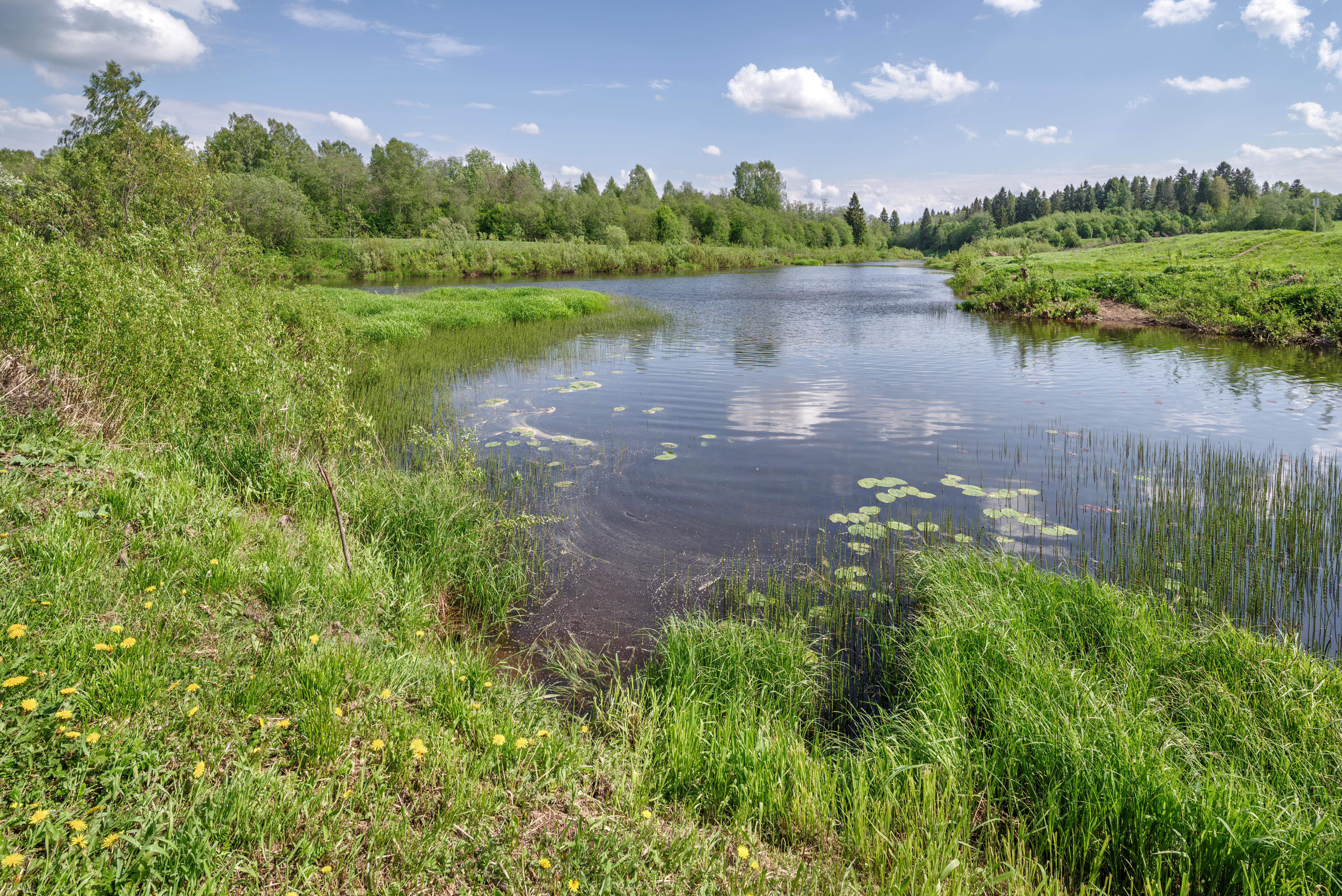
English: A meeting place of rivers Sot (on the left) and Lunka (to the right). Lunka ends here, while Sot continues to flow on. Yaroslavl Region, Russian Federation قالب:Protected Area Russia
|
| ⧼wm-license-information-date⧽ | قالب:Taken on |
| ⧼wm-license-information-source⧽ | ⧼Wm-license-own-work⧽ |
| ⧼wm-license-information-author⧽ | Эдуард Косарев |
58°14′02″N 40°25′44″E / 58.233991°N 40.428756°E
ترخيص
|
تاريخ الملف
اضغط على زمن/تاريخ لرؤية الملف كما بدا في هذا الزمن.
| زمن/تاريخ | صورة مصغرة | الأبعاد | مستخدم | تعليق | |
|---|---|---|---|---|---|
| حالي | ★ مراجعة معتمدة 10:53، 4 نوفمبر 2023 | | 6٬388 × 4٬263 (36٫41 ميجابايت) | Pastakhov (نقاش | مساهمات) | Upload https://upload.wikimedia.org/wikipedia/commons/e/e3/Sot_River_Below_The_Confluence_With_Lunka.jpg |
لا يمكنك استبدال هذا الملف.
وصلات
لا يوجد صفحات تصل لهذه الصورة.