ملف:Sonne - Prissac (36) - Pont RD 10 - vue vers Sacierges-Saint-Martin.jpg
حجم هذه المعاينة: 800 × 600 بكسل. البعدان الآخران: 2٬560 × 1٬920 بكسل | 4٬032 × 3٬024 بكسل.
الملف الأصلي (4٬032 × 3٬024 بكسل حجم الملف: 4٫22 ميجابايت، نوع MIME: image/jpeg)
وصف قصير
| ⧼wm-license-information-description⧽ |
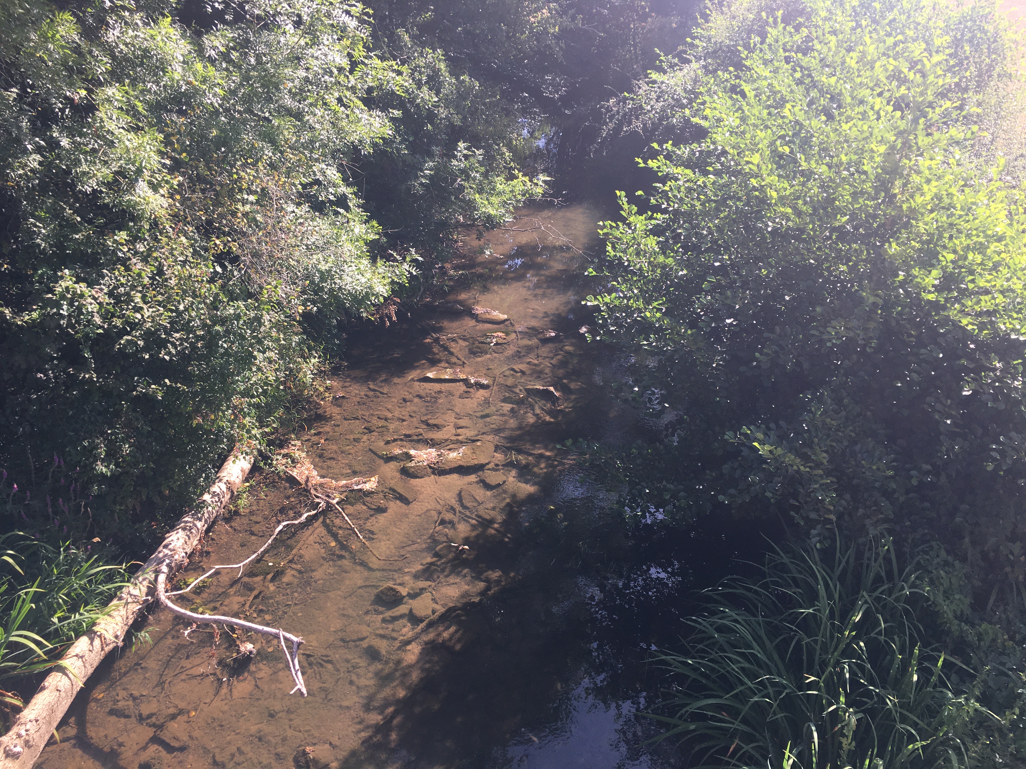
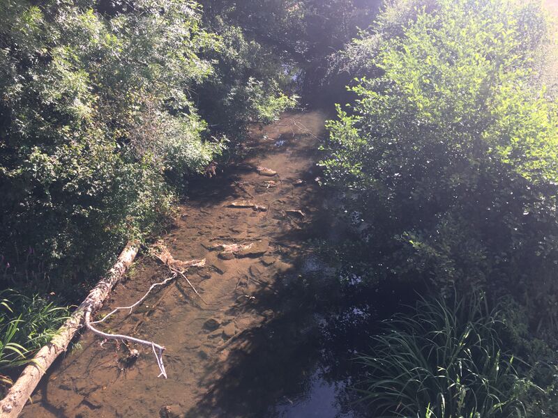
Français : La rivière Sonne au niveau du pont de la route départementale 10, en direction de Sacierges-Saint-Martin, à Prissac (36).
|
| ⧼wm-license-information-date⧽ | 2020, {{time}} – invalid date format 22 (help) |
| ⧼wm-license-information-source⧽ | ⧼Wm-license-own-work⧽ |
| ⧼wm-license-information-author⧽ | Floppy36 |
46°31′19″N 1°16′17″E / 46.521892°N 1.271422°E
_-_Pont_RD_10_-_vue_vers_Sacierges-Saint-Martin.jpg¶ms=46.521892_N_1.271422_E_heading:69.28576655689719)
ترخيص
|
تاريخ الملف
اضغط على زمن/تاريخ لرؤية الملف كما بدا في هذا الزمن.
| زمن/تاريخ | صورة مصغرة | الأبعاد | مستخدم | تعليق | |
|---|---|---|---|---|---|
| حالي | ★ مراجعة معتمدة 12:43، 12 أكتوبر 2023 | | 4٬032 × 3٬024 (4٫22 ميجابايت) | Pastakhov (نقاش | مساهمات) | Upload https://upload.wikimedia.org/wikipedia/commons/0/06/Sonne_-_Prissac_%2836%29_-_Pont_RD_10_-_vue_vers_Sacierges-Saint-Martin.jpg |
لا يمكنك استبدال هذا الملف.
وصلات
لا يوجد صفحات تصل لهذه الصورة.
_-_Pont_RD_10_-_vue_vers_Sacierges-Saint-Martin.jpg&oldid=3078993)