ملف:Somerset West and Taunton UK locator map.svg

حجم معاينة PNG لذلك الملف ذي الامتداد SVG: 800 × 506 بكسل. البعد الآخر: 2٬560 × 1٬619 بكسل.
الملف الأصلي (ملف SVG، أبعاده 1٬425 × 901 بكسل، حجم الملف: 1٫15 ميجابايت)
وصف قصير
| ⧼wm-license-information-description⧽ |
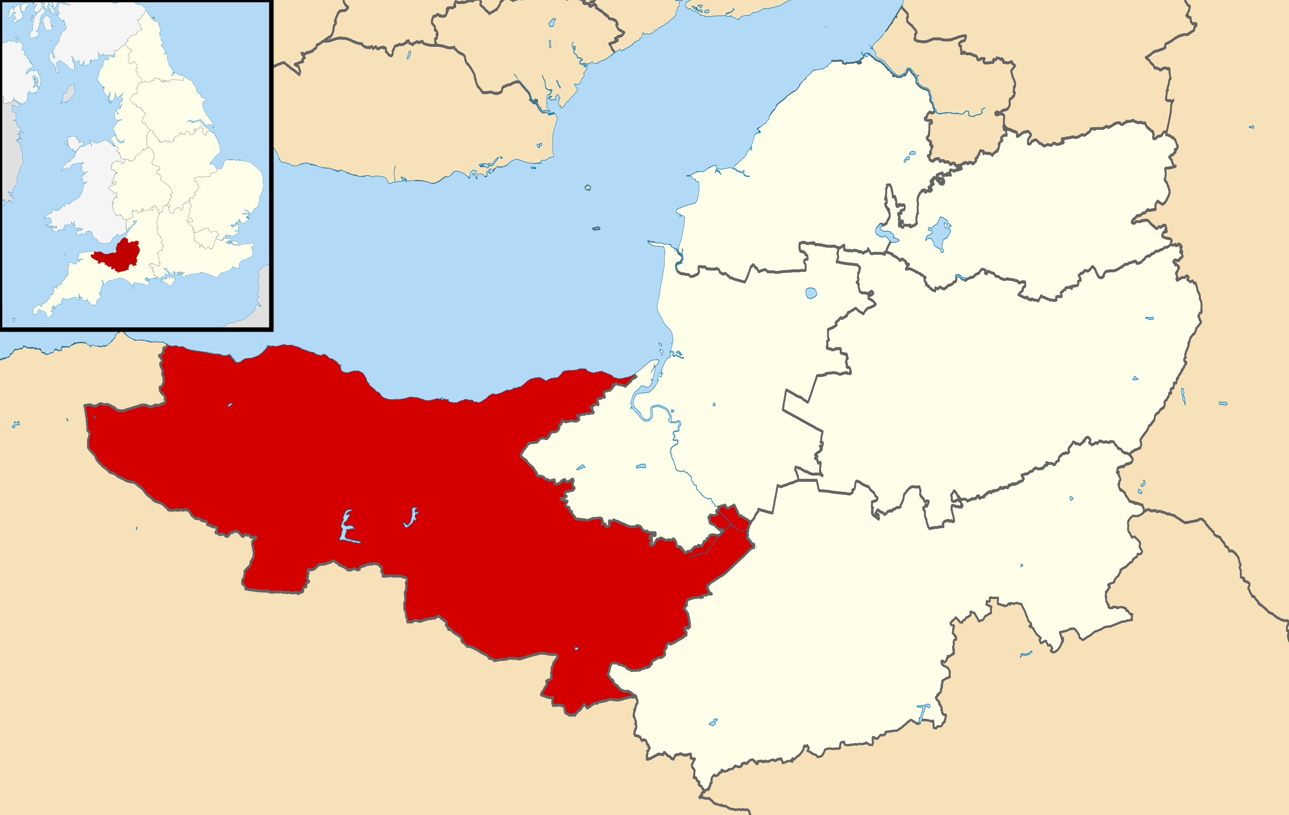
English: Map of Somerset, UK with the existing districts of Taunton Deane and West Somerset highlighted.
Equirectangular map projection on WGS 84 datum, with N/S stretched 155%
|
| ⧼wm-license-information-date⧽ | 2018 |
| ⧼wm-license-information-source⧽ | ⧼Wm-license-own-work⧽ |
| ⧼wm-license-information-author⧽ | Maswimelleu |
ترخيص
|
تاريخ الملف
اضغط على زمن/تاريخ لرؤية الملف كما بدا في هذا الزمن.
| زمن/تاريخ | صورة مصغرة | الأبعاد | مستخدم | تعليق | |
|---|---|---|---|---|---|
| حالي | ★ مراجعة معتمدة 15:49، 2 ديسمبر 2023 | | 1٬425 × 901 (1٫15 ميجابايت) | Pastakhov (نقاش | مساهمات) | Upload https://upload.wikimedia.org/wikipedia/commons/2/2f/Somerset_West_and_Taunton_UK_locator_map.svg |
لا يمكنك استبدال هذا الملف.
وصلات
لا يوجد صفحات تصل لهذه الصورة.