ملف:Sluice at the end of The Old Bedford River, Salters Lode (geograph 5094093).jpg

حجم هذه المعاينة: 800 × 600 بكسل. البعدان الآخران: 2٬560 × 1٬920 بكسل | 4٬320 × 3٬240 بكسل.
الملف الأصلي (4٬320 × 3٬240 بكسل حجم الملف: 5٫71 ميجابايت، نوع MIME: image/jpeg)
وصف قصير
| ⧼wm-license-information-description⧽ |
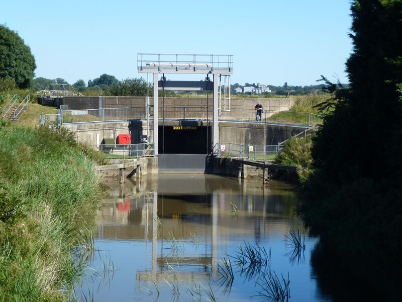
English: Sluice at the end of The Old Bedford River, Salters Lode
|
| ⧼wm-license-information-date⧽ | 2016 |
| ⧼wm-license-information-source⧽ | From geograph.org.uk |
| ⧼wm-license-information-author⧽ | Richard Humphrey |
| ⧼wm-license-information-permission⧽ (⧼wm-license-information-permission-reusing-text⧽) |
Creative Commons Attribution Share-alike license 2.0 |
| ⧼wm-license-cc-attribution⧽ (قالب:I18n/Credit line) |
Richard Humphrey / Sluice at the end of The Old Bedford River, Salters Lode / |
52°35′15″N 0°20′20″E / 52.587467°N 0.338801°E قالب:Object location
.jpg¶ms=52.587467_N_0.338801_E_source:geograph-osgb36(TF58540142)_heading:45)
ترخيص
تاريخ الملف
اضغط على زمن/تاريخ لرؤية الملف كما بدا في هذا الزمن.
| زمن/تاريخ | صورة مصغرة | الأبعاد | مستخدم | تعليق | |
|---|---|---|---|---|---|
| حالي | ★ مراجعة معتمدة 10:08، 18 ديسمبر 2023 | | 4٬320 × 3٬240 (5٫71 ميجابايت) | Pastakhov (نقاش | مساهمات) | Upload https://upload.wikimedia.org/wikipedia/commons/9/93/Sluice_at_the_end_of_The_Old_Bedford_River%2C_Salters_Lode_%28geograph_5094093%29.jpg |
لا يمكنك استبدال هذا الملف.
وصلات
لا يوجد صفحات تصل لهذه الصورة.
.jpg&oldid=3803453)