ملف:Sembach Air Base aerial view 1989.JPEG
حجم هذه المعاينة: 800 × 528 بكسل. البعد الآخر: 1٬802 × 1٬189 بكسل.
الملف الأصلي (1٬802 × 1٬189 بكسل حجم الملف: 1٫66 ميجابايت، نوع MIME: image/jpeg)
وصف قصير
| ⧼wm-license-information-description⧽ |
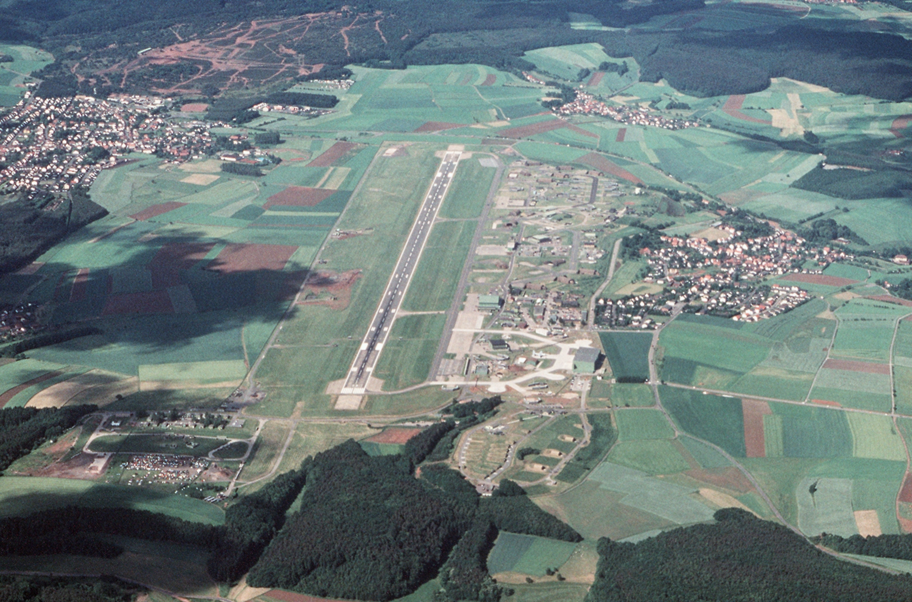
An aerial view of the U.S. Air Force Sembach Air Base, Rheinland-Pfalz, Germany. |
| ⧼wm-license-information-date⧽ | 1989 |
| ⧼wm-license-information-source⧽ | U.S. DefenseImagery photo VIRIN: DF-ST-91-11503 |
| ⧼wm-license-information-author⧽ | MSgt. Bill Thompson, USAF |
49°30′21″N 07°51′41″E / 49.50583°N 7.86139°E
ترخيص
تاريخ الملف
اضغط على زمن/تاريخ لرؤية الملف كما بدا في هذا الزمن.
| زمن/تاريخ | صورة مصغرة | الأبعاد | مستخدم | تعليق | |
|---|---|---|---|---|---|
| حالي | ★ مراجعة معتمدة 20:25، 26 أكتوبر 2023 | | 1٬802 × 1٬189 (1٫66 ميجابايت) | Pastakhov (نقاش | مساهمات) | Upload https://upload.wikimedia.org/wikipedia/commons/5/5b/Sembach_Air_Base_aerial_view_1989.JPEG |
لا يمكنك استبدال هذا الملف.
وصلات
لا يوجد صفحات تصل لهذه الصورة.