ملف:Scioto River and Mill Creek - Bellepoint, Ohio.jpg
حجم هذه المعاينة: 800 × 389 بكسل. البعد الآخر: 4٬032 × 1٬960 بكسل.
الملف الأصلي (4٬032 × 1٬960 بكسل حجم الملف: 4٫14 ميجابايت، نوع MIME: image/jpeg)
وصف قصير
| ⧼wm-license-information-description⧽ |
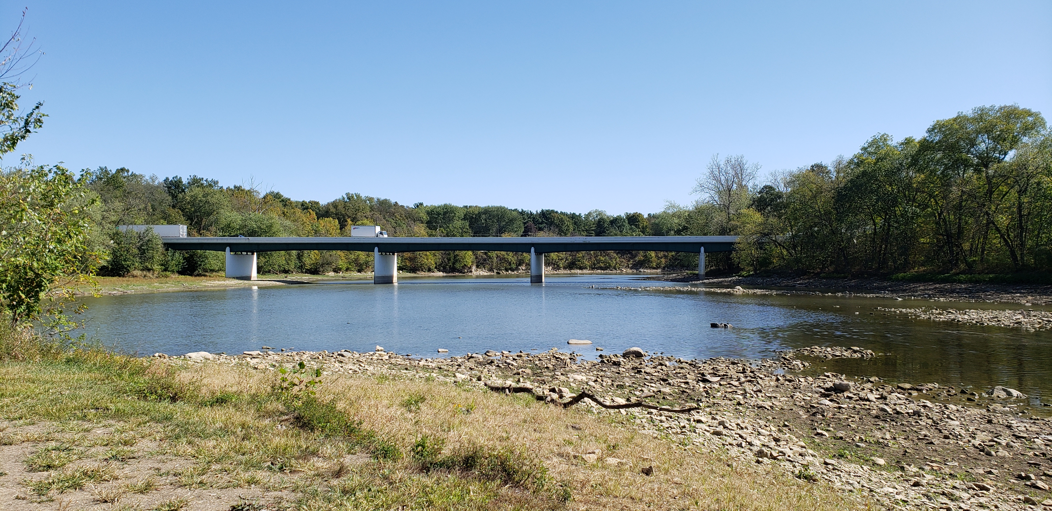
English: The confluence of Scioto River and Mill Creek at The Point in Bellepoint, Ohio, facing southwards towards U.S. Highway 42 and Ohio State Route 257
|
| ⧼wm-license-information-date⧽ | 2019, {{time}} – invalid date format 38 (help) |
| ⧼wm-license-information-source⧽ | ⧼Wm-license-own-work⧽ |
| ⧼wm-license-information-author⧽ | Nova Crystallis |
40°14′42″N 83°08′56″W / 40.24503°N 83.14898°W
ترخيص
|
تاريخ الملف
اضغط على زمن/تاريخ لرؤية الملف كما بدا في هذا الزمن.
| زمن/تاريخ | صورة مصغرة | الأبعاد | مستخدم | تعليق | |
|---|---|---|---|---|---|
| حالي | ★ مراجعة معتمدة 00:37، 3 نوفمبر 2023 | | 4٬032 × 1٬960 (4٫14 ميجابايت) | Pastakhov (نقاش | مساهمات) | Upload https://upload.wikimedia.org/wikipedia/commons/f/fd/Scioto_River_and_Mill_Creek_-_Bellepoint%2C_Ohio.jpg |
لا يمكنك استبدال هذا الملف.
وصلات
لا يوجد صفحات تصل لهذه الصورة.