ملف:SantaMaria,Pangasinanjf6669 13.JPG
حجم هذه المعاينة: 800 × 400 بكسل. البعدان الآخران: 2٬560 × 1٬280 بكسل | 4٬608 × 2٬304 بكسل.
الملف الأصلي (4٬608 × 2٬304 بكسل حجم الملف: 1٫85 ميجابايت، نوع MIME: image/jpeg)
وصف قصير
| ⧼wm-license-information-description⧽ |
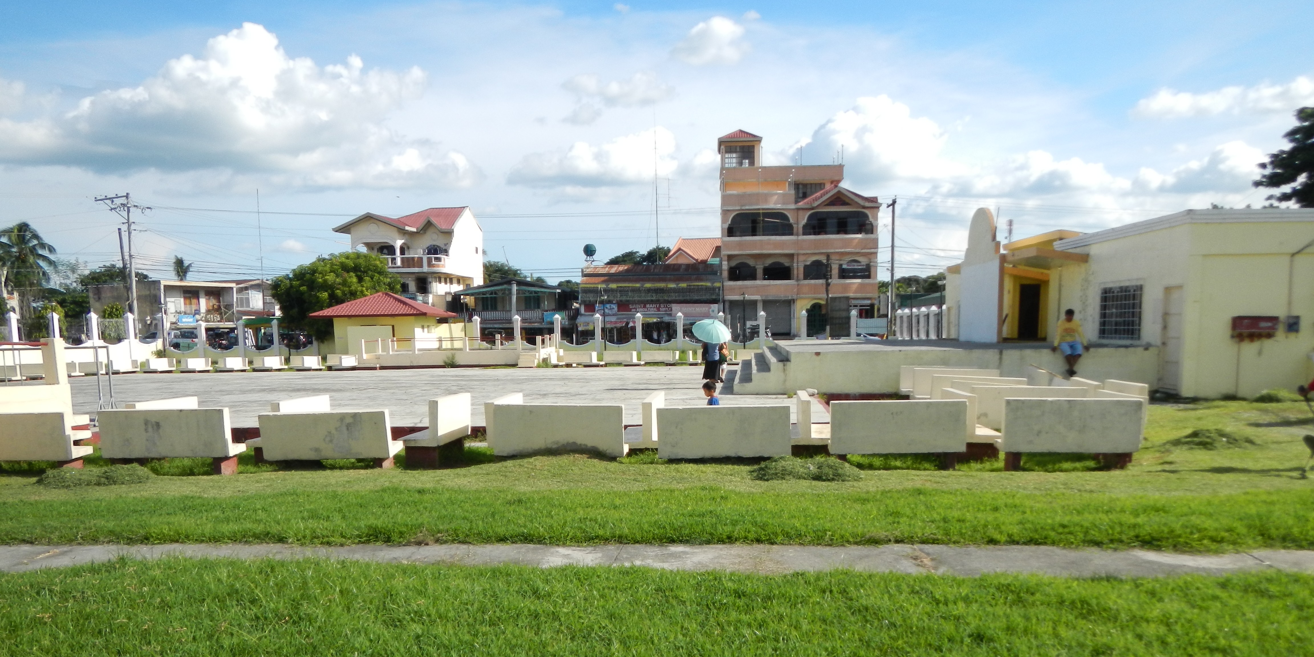
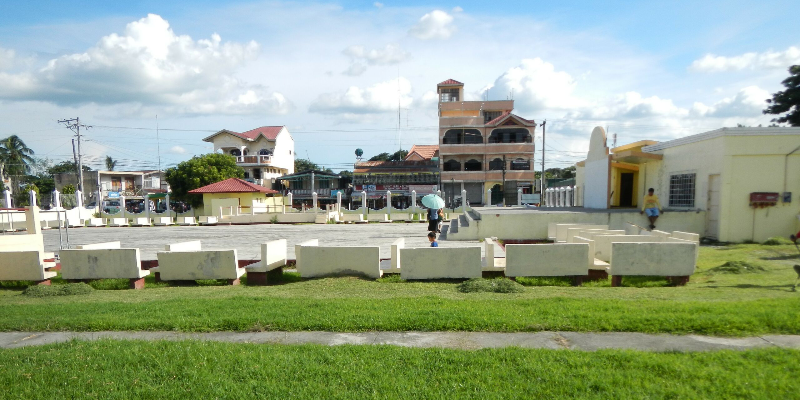
English: UploadWizard photos of Santa Maria Municipal Hall [1]Coordinates: 15°58'51"N 120°41'57"E, Welcome Arch of Santa Maria de Pila, founded 1855, Town Park, Plaza, Glorietta, - Santa Maria, Pangasinan [2] - is a fourth class municipality along the Agno River [3] Pangasinan, [4] Philippines with 2010 census, a population of 31,091 people subdivided into 23 barangays.[5] Area: 69.50 km² ZIP Code: 2440 Coordinates: 15°57'25"N 120°41'35"E Website
|
| ⧼wm-license-information-date⧽ | 2013, {{time}} – invalid date format 50 (help) |
| ⧼wm-license-information-source⧽ | ⧼Wm-license-own-work⧽ |
| ⧼wm-license-information-author⧽ | Ramon FVelasquez |
ترخيص
|
تاريخ الملف
اضغط على زمن/تاريخ لرؤية الملف كما بدا في هذا الزمن.
| زمن/تاريخ | صورة مصغرة | الأبعاد | مستخدم | تعليق | |
|---|---|---|---|---|---|
| حالي | ★ مراجعة معتمدة 15:16، 18 أكتوبر 2023 | | 4٬608 × 2٬304 (1٫85 ميجابايت) | Pastakhov (نقاش | مساهمات) | Upload https://upload.wikimedia.org/wikipedia/commons/1/19/SantaMaria%2CPangasinanjf6669_13.JPG |
لا يمكنك استبدال هذا الملف.
وصلات
لا يوجد صفحات تصل لهذه الصورة.