ملف:Sant Tomas,Batangasjf0448 10.JPG
حجم هذه المعاينة: 800 × 140 بكسل. البعد الآخر: 3٬200 × 560 بكسل.
الملف الأصلي (3٬200 × 560 بكسل حجم الملف: 472 كيلوبايت، نوع MIME: image/jpeg)
وصف قصير
| ⧼wm-license-information-description⧽ |
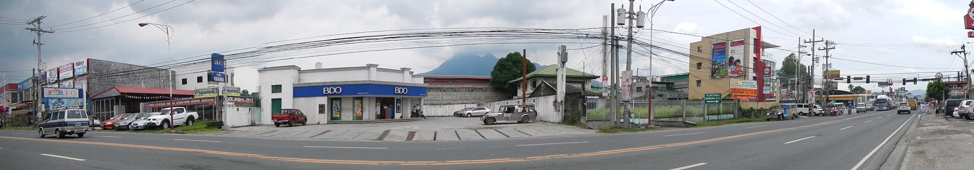
English: Maharlika Highway, (Pan-Philippine Highway[1]( The Pan-Philippine Highway, also known as the Maharlika "Nobility/Free People") - Barangay San Antonio, Santo Tomas, Batangas[2] Website
Santo Tomas (also spelled as Sto. Tomas) is a first class municipality in the province of Batangas,[3] Philippines. According to the 2010 census, it has a population of 123,668 people. The town is a gateway to the province from Laguna. This is also the hometown of Philippine Revolution and Philippine-American War hero Miguel Malvar.[4] The patron of Santo Tomas is Saint Thomas Aquinas,[5] patron of Catholic schools celebrates his feast day every 7 March.Election Results 2013 Santo Tomas mayoral bet Edna Sanchez accused of vote-buying [6] Coordinates: 14°3'44"N 121°10'24"E Geographical location: Batangas, Region 4, Philippines, Asia Geographical coordinates: 14° 6' 33" North, 121° 8' 31" East This place is situated in Batangas, Region 4, Philippines, its geographical coordinates are 14° 6' 33" North, 121° 8' 31" East and its original name (with diacritics) is Santo Tomas. [7]
|
| ⧼wm-license-information-date⧽ | 2013, {{time}} – invalid date format 27 (help) |
| ⧼wm-license-information-source⧽ | ⧼Wm-license-own-work⧽ |
| ⧼wm-license-information-author⧽ | Ramon FVelasquez |
ترخيص
|
تاريخ الملف
اضغط على زمن/تاريخ لرؤية الملف كما بدا في هذا الزمن.
| زمن/تاريخ | صورة مصغرة | الأبعاد | مستخدم | تعليق | |
|---|---|---|---|---|---|
| حالي | ★ مراجعة معتمدة 19:23، 26 ديسمبر 2023 | 3٬200 × 560 (472 كيلوبايت) | Pastakhov (نقاش | مساهمات) | Upload https://upload.wikimedia.org/wikipedia/commons/a/a5/Sant_Tomas%2CBatangasjf0448_10.JPG |
لا يمكنك استبدال هذا الملف.
وصلات
لا يوجد صفحات تصل لهذه الصورة.