ملف:Sandy Glacier 2616.JPG
حجم هذه المعاينة: 800 × 533 بكسل. البعدان الآخران: 2٬560 × 1٬707 بكسل | 5٬184 × 3٬456 بكسل.
الملف الأصلي (5٬184 × 3٬456 بكسل حجم الملف: 7٫7 ميجابايت، نوع MIME: image/jpeg)
وصف قصير
| ⧼wm-license-information-description⧽ |
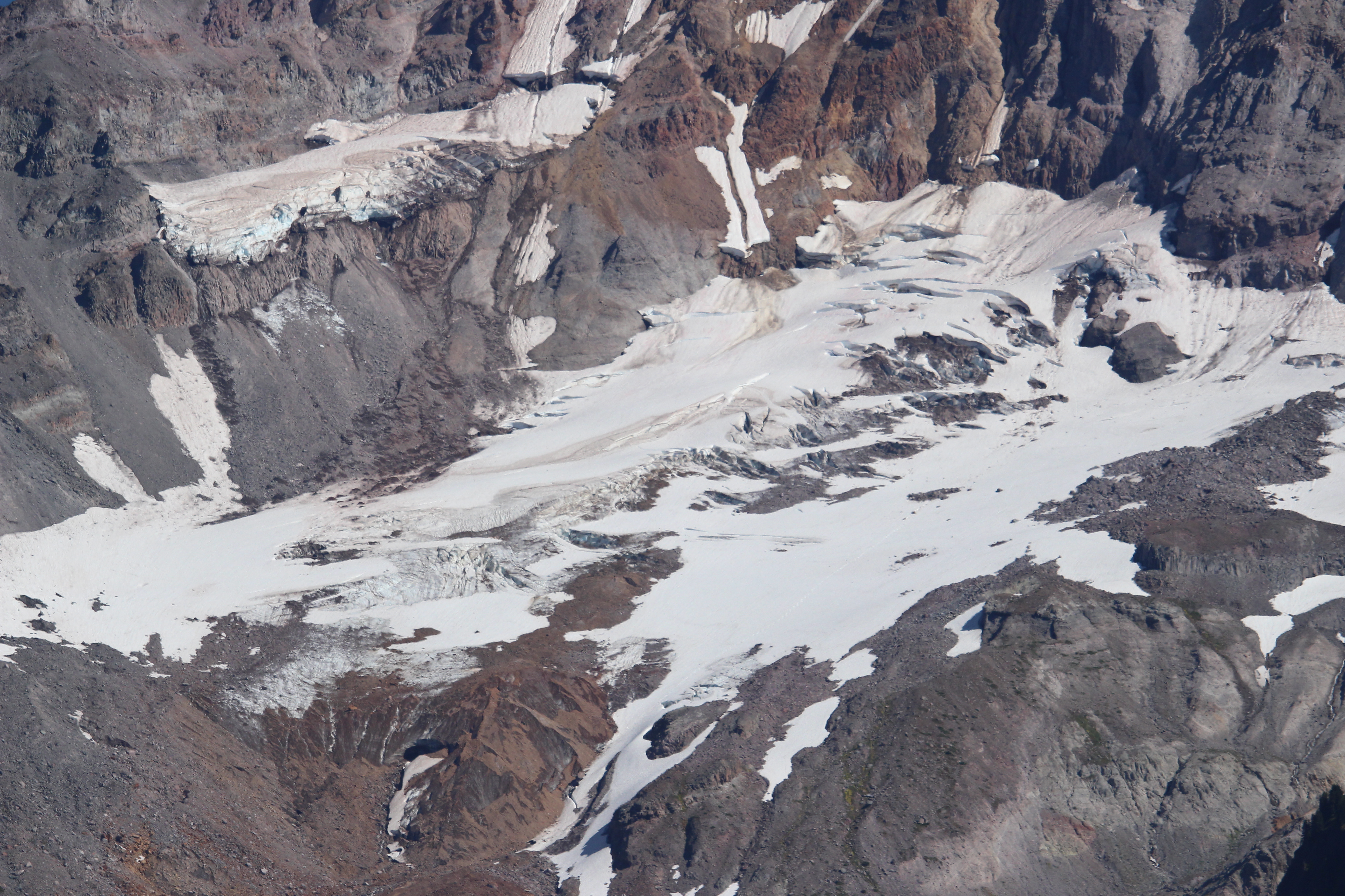
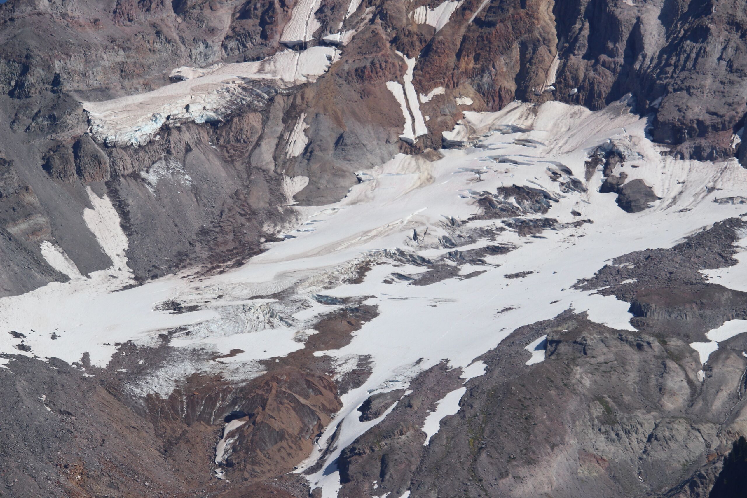
English: Sandy Glacier source of the Muddy Fork of Sandy River (Oregon)
|
| ⧼wm-license-information-date⧽ | قالب:DTZ |
| ⧼wm-license-information-source⧽ | ⧼Wm-license-own-work⧽ |
| ⧼wm-license-information-author⧽ | Walter Siegmund (talk) |
| ⧼wm-license-information-other-versions⧽ |
|
قالب:Location dec قالب:Photo Information
ترخيص
|

تاريخ الملف
اضغط على زمن/تاريخ لرؤية الملف كما بدا في هذا الزمن.
| زمن/تاريخ | صورة مصغرة | الأبعاد | مستخدم | تعليق | |
|---|---|---|---|---|---|
| حالي | ★ مراجعة معتمدة 12:49، 2 ديسمبر 2023 | | 5٬184 × 3٬456 (7٫7 ميجابايت) | Pastakhov (نقاش | مساهمات) | Upload https://upload.wikimedia.org/wikipedia/commons/8/8e/Sandy_Glacier_2616.JPG |
لا يمكنك استبدال هذا الملف.
وصلات
لا يوجد صفحات تصل لهذه الصورة.