ملف:Sainte-Françoise Quebec location diagram.png

حجم هذه المعاينة: 781 × 600 بكسل. البعد الآخر: 970 × 745 بكسل.
الملف الأصلي (970 × 745 بكسل حجم الملف: 119 كيلوبايت، نوع MIME: image/png)
وصف قصير
| ⧼wm-license-information-description⧽ |
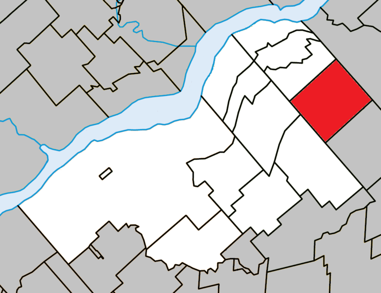
English: Location of Sainte-Françoise, Quebec within Bécancour Regional County Municipality.
|
| ⧼wm-license-information-date⧽ | 2013, {{time}} – invalid date format 34 (help) |
| ⧼wm-license-information-source⧽ | ⧼Wm-license-own-work⧽ |
| ⧼wm-license-information-author⧽ | Gordalmighty |
ترخيص
|
تاريخ الملف
اضغط على زمن/تاريخ لرؤية الملف كما بدا في هذا الزمن.
| زمن/تاريخ | صورة مصغرة | الأبعاد | مستخدم | تعليق | |
|---|---|---|---|---|---|
| حالي | ★ مراجعة معتمدة 05:01، 22 أكتوبر 2023 | | 970 × 745 (119 كيلوبايت) | Pastakhov (نقاش | مساهمات) | Upload https://upload.wikimedia.org/wikipedia/commons/1/12/Sainte-Fran%C3%A7oise_Quebec_location_diagram.png |
لا يمكنك استبدال هذا الملف.
وصلات
لا يوجد صفحات تصل لهذه الصورة.