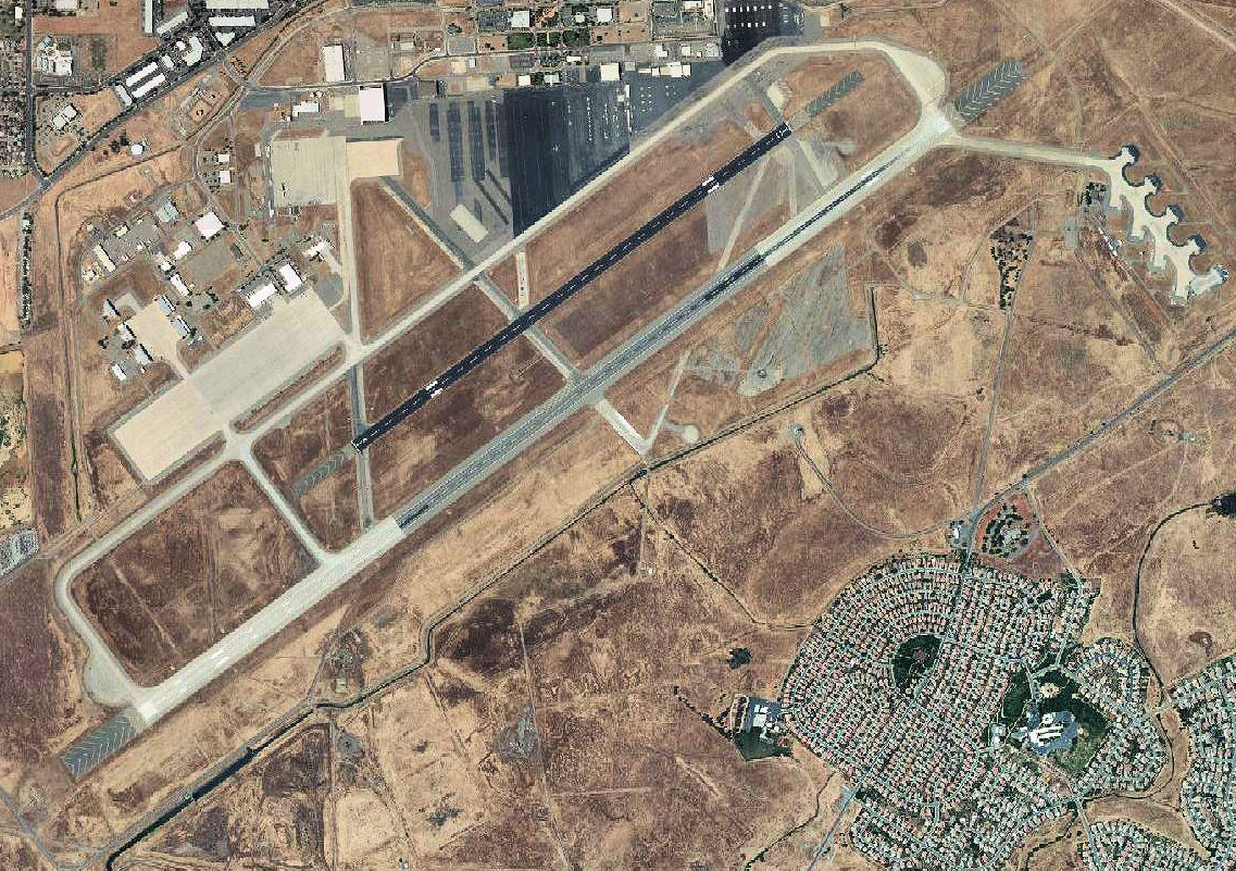
ملف:Sacramento Mather Airport 2006 USGS.jpg
حجم هذه المعاينة: 800 × 564 بكسل. البعد الآخر: 1٬137 × 801 بكسل.
الملف الأصلي (1٬137 × 801 بكسل حجم الملف: 377 كيلوبايت، نوع MIME: image/jpeg)
وصف قصير
| ⧼wm-license-information-description⧽ | |
| ⧼wm-license-information-date⧽ | 2006 |
| ⧼wm-license-information-source⧽ | USGS via GPS Visualizer website |
| ⧼wm-license-information-author⧽ | United States Geological Survey (USGS) |
| ⧼wm-license-information-permission⧽ (⧼wm-license-information-permission-reusing-text⧽) |
Public domain |
ترخيص
تاريخ الملف
اضغط على زمن/تاريخ لرؤية الملف كما بدا في هذا الزمن.
| زمن/تاريخ | صورة مصغرة | الأبعاد | مستخدم | تعليق | |
|---|---|---|---|---|---|
| حالي | ★ مراجعة معتمدة 19:49، 26 أكتوبر 2023 | | 1٬137 × 801 (377 كيلوبايت) | Pastakhov (نقاش | مساهمات) | Upload https://upload.wikimedia.org/wikipedia/commons/d/dc/Sacramento_Mather_Airport_2006_USGS.jpg |
لا يمكنك استبدال هذا الملف.
وصلات
لا يوجد صفحات تصل لهذه الصورة.