ملف:Ru du cuivre, Marchais-Beton.JPG
حجم هذه المعاينة: 450 × 600 بكسل. البعدان الآخران: 1٬536 × 2٬048 بكسل | 2٬736 × 3٬648 بكسل.
الملف الأصلي (2٬736 × 3٬648 بكسل حجم الملف: 4٫45 ميجابايت، نوع MIME: image/jpeg)
وصف قصير
| ⧼wm-license-information-description⧽ |
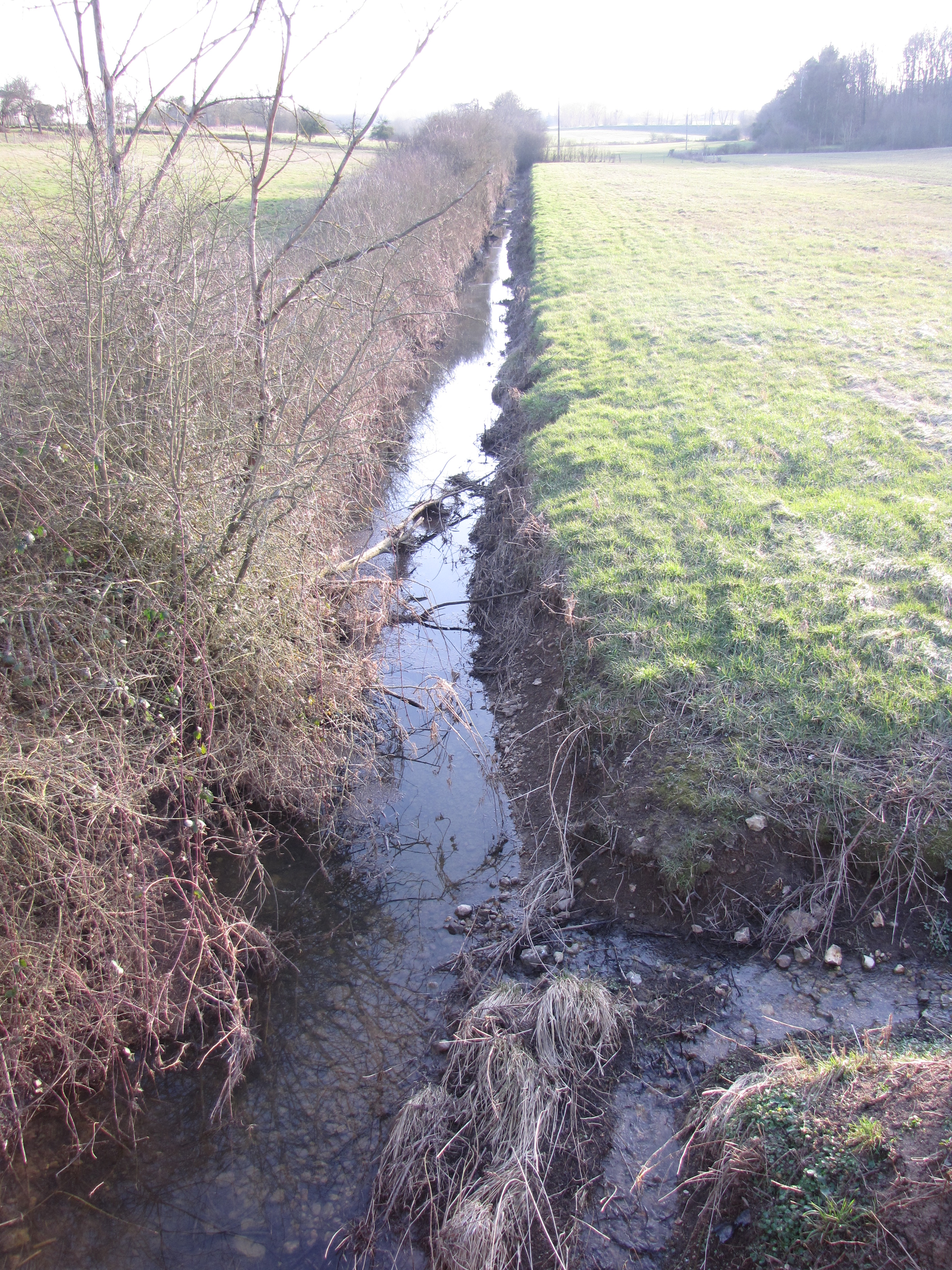
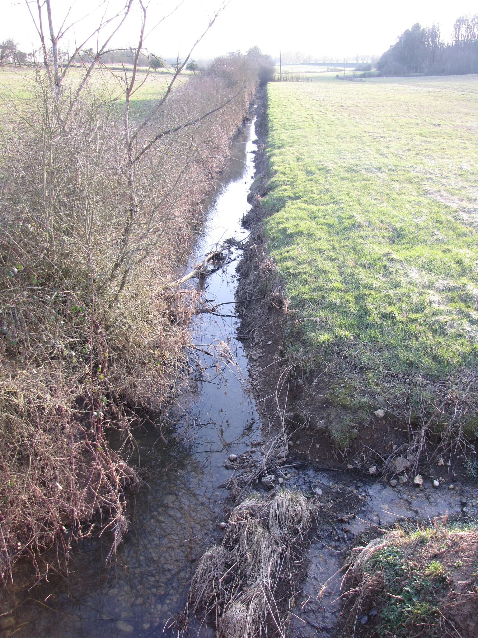
English: Ru du Cuivre crossing the D 57 road, west of Marchais-Beton. The village is on the left, and the picture is looking south and upstream. 200 m ahead is a zone of sinkholes, and another one 800 m ahead. One of these dolines appeared in the path of the ancient road from Auxerre to Orléans, cutting the road off. This photo was taken on March 4, 2013.
Français : Le ru du Cuivre croisant la D 57 à l'ouest de Marchais-Beton. Le village est sur la gauche, et la photo est tournée vers le sud et l'amont du ru. A 200 m de là se trouve une zone de dolines, et une autre à 800 m appelée "Les entonnoirs". L'une de ces dolines s'est créée sur le chemin de l'ancienne route menant d'Auxerre à Orléans, la coupant ainsi en son milieu. Cette photo a été prise le 04 mars 2013.
|
| ⧼wm-license-information-date⧽ | 2013, {{time}} – invalid date format 16 (help) |
| ⧼wm-license-information-source⧽ | ⧼Wm-license-own-work⧽ |
| ⧼wm-license-information-author⧽ | Basicdesign |
ترخيص
|
تاريخ الملف
اضغط على زمن/تاريخ لرؤية الملف كما بدا في هذا الزمن.
| زمن/تاريخ | صورة مصغرة | الأبعاد | مستخدم | تعليق | |
|---|---|---|---|---|---|
| حالي | ★ مراجعة معتمدة 11:46، 27 أكتوبر 2023 | | 2٬736 × 3٬648 (4٫45 ميجابايت) | Pastakhov (نقاش | مساهمات) | Upload https://upload.wikimedia.org/wikipedia/commons/e/ef/Ru_du_cuivre%2C_Marchais-Beton.JPG |
لا يمكنك استبدال هذا الملف.
وصلات
لا يوجد صفحات تصل لهذه الصورة.