ملف:Roman Fort at Nether Denton - geograph.org.uk - 1372569.jpg
لا توجد دقة أعلى متوفرة.
Roman_Fort_at_Nether_Denton_-_geograph.org.uk_-_1372569.jpg (640 × 480 بكسل حجم الملف: 83 كيلوبايت، نوع MIME: image/jpeg)
وصف قصير
| ⧼wm-license-information-description⧽ |
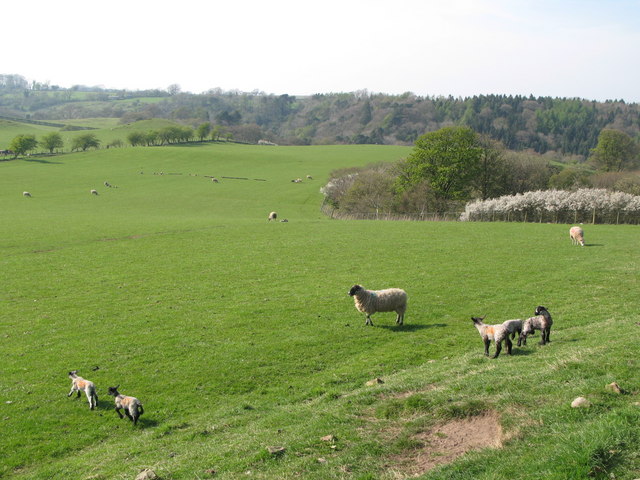
English: Roman Fort at Nether Denton The fort, its name unknown, is unexcavated but it is thought to be contemporary with the Trajanic forts on the Stanegate at Carlisle, Corbridge and Chesterholm (i.e. c.AD103). Aerial photography has revealed a large camp lying beneath two smaller fortifications, the former perhaps dating to the campaigns of Agricola, the latter built during the early Trajanic period. A similar situation is observed at the Carvoran Stanegate fort. There is evidence of a vicus or civil settlement along the Stanegate outside the fort's south-western defences, and there is a Roman Signal Station about a mile to the east at Mains Rigg (NY6165). See http://www.roman-britain.org/places/nether_denton.htm.
|
| ⧼wm-license-information-date⧽ | 2009 |
| ⧼wm-license-information-source⧽ | From geograph.org.uk |
| ⧼wm-license-information-author⧽ | Mike Quinn |
| ⧼wm-license-cc-attribution⧽ (قالب:I18n/Credit line) |
Mike Quinn / Roman Fort at Nether Denton / |
54°58′27″N 2°38′05″W / 54.97413°N 2.6346°W قالب:Object location
_heading:315)
ترخيص
تاريخ الملف
اضغط على زمن/تاريخ لرؤية الملف كما بدا في هذا الزمن.
| زمن/تاريخ | صورة مصغرة | الأبعاد | مستخدم | تعليق | |
|---|---|---|---|---|---|
| حالي | ★ مراجعة معتمدة 15:20، 13 نوفمبر 2023 | | 640 × 480 (83 كيلوبايت) | Pastakhov (نقاش | مساهمات) | Upload https://upload.wikimedia.org/wikipedia/commons/1/1c/Roman_Fort_at_Nether_Denton_-_geograph.org.uk_-_1372569.jpg |
لا يمكنك استبدال هذا الملف.
وصلات
لا يوجد صفحات تصل لهذه الصورة.