ملف:Rocky River Ohio aerial view.jpg
حجم هذه المعاينة: 800 × 534 بكسل. البعد الآخر: 1٬500 × 1٬001 بكسل.
الملف الأصلي (1٬500 × 1٬001 بكسل حجم الملف: 673 كيلوبايت، نوع MIME: image/jpeg)
| ⧼wm-license-information-description⧽ |
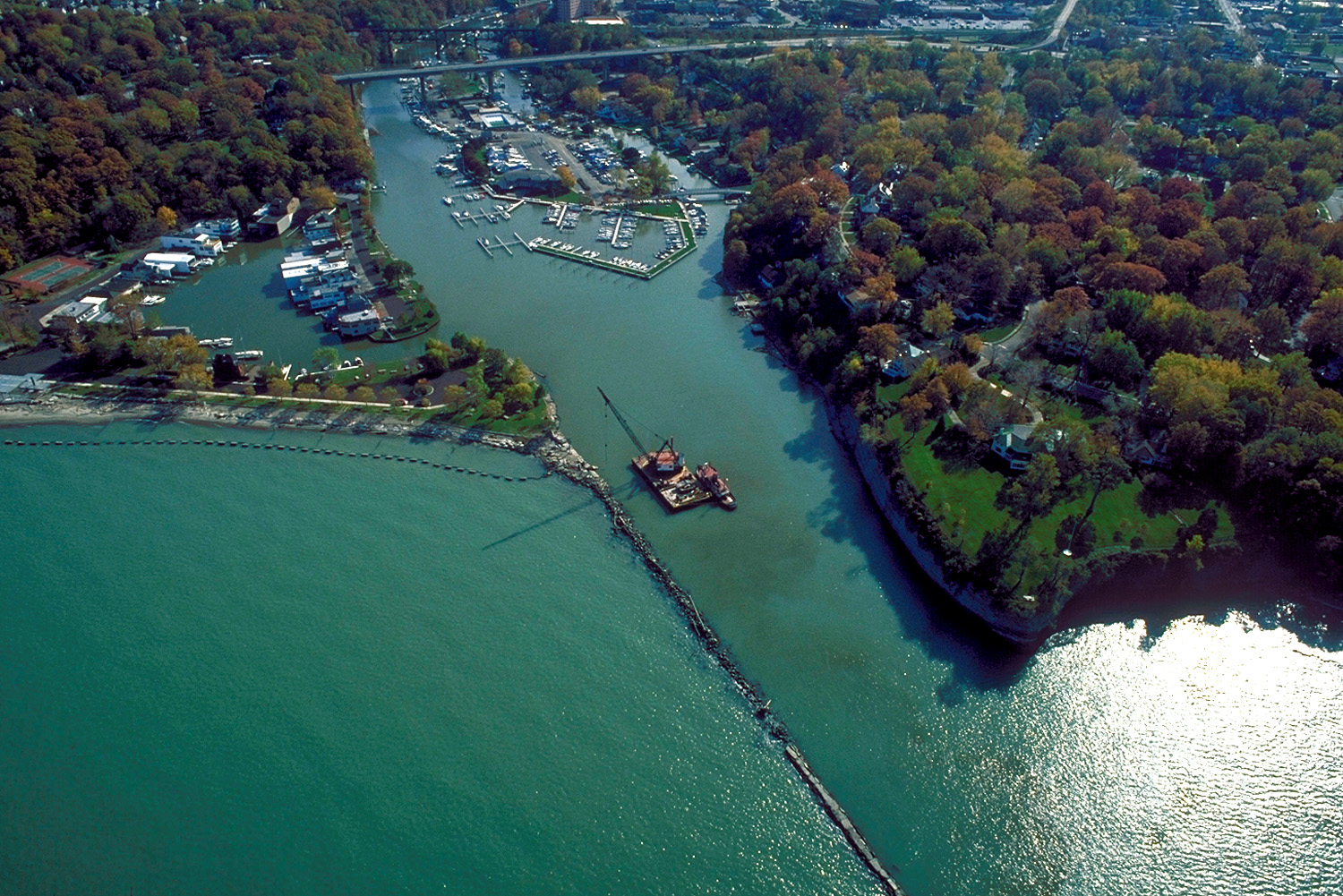
English: Aerial view of the harbor and river entrance at Rocky River, Ohio, USA on Lake Erie. The major highway U.S. Route 6 crosses the inlet on a bridge at the top of the picture. A derrick boat of the U.S. Army Corps of Engineers is working on the breakwater. View is to the south.
|
| ⧼wm-license-information-date⧽ | 1992 |
| ⧼wm-license-information-source⧽ | U.S. Army Corps of Engineers Digital Visual Library Image page Image description page Digital Visual Library home page |
| ⧼wm-license-information-author⧽ | Ken Winters, U.S. Army Corps of Engineers |
| ⧼wm-license-information-permission⧽ (⧼wm-license-information-permission-reusing-text⧽) |
|
| قالب:Location/i18n | Rocky River, Ohio, USA |
تاريخ الملف
اضغط على زمن/تاريخ لرؤية الملف كما بدا في هذا الزمن.
| زمن/تاريخ | صورة مصغرة | الأبعاد | مستخدم | تعليق | |
|---|---|---|---|---|---|
| حالي | ★ مراجعة معتمدة 05:03، 25 ديسمبر 2023 | | 1٬500 × 1٬001 (673 كيلوبايت) | Pastakhov (نقاش | مساهمات) | Upload https://upload.wikimedia.org/wikipedia/commons/a/aa/Rocky_River_Ohio_aerial_view.jpg |
لا يمكنك استبدال هذا الملف.
وصلات
لا يوجد صفحات تصل لهذه الصورة.