ملف:River Nethan - geograph.org.uk - 1235334.jpg
لا توجد دقة أعلى متوفرة.
River_Nethan_-_geograph.org.uk_-_1235334.jpg (640 × 480 بكسل حجم الملف: 125 كيلوبايت، نوع MIME: image/jpeg)
وصف قصير
| ⧼wm-license-information-description⧽ |
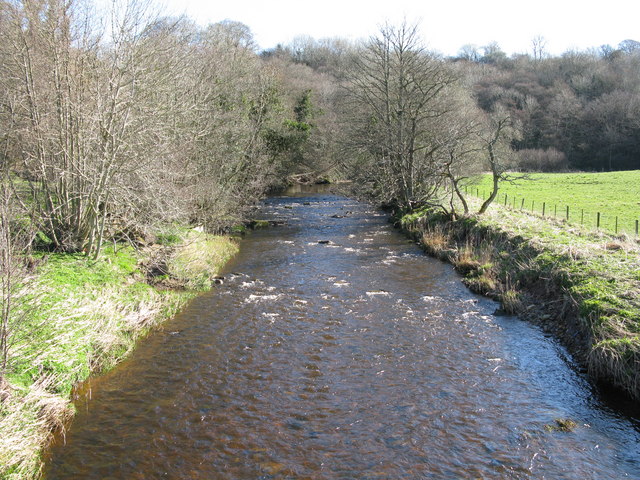
English: River Nethan Looking up river from the bridge which carries the minor road from Tillietudlem to Crossford. At this point the river is just over one mile from the point where it flows into the River Clyde.
|
| ⧼wm-license-information-date⧽ | 2009 |
| ⧼wm-license-information-source⧽ | From geograph.org.uk |
| ⧼wm-license-information-author⧽ | G Laird |
| ⧼wm-license-cc-attribution⧽ (قالب:I18n/Credit line) |
G Laird / River Nethan / |
55°41′28″N 3°53′08″W / 55.69112°N 3.8856°W قالب:Object location
_heading:67)
ترخيص
تاريخ الملف
اضغط على زمن/تاريخ لرؤية الملف كما بدا في هذا الزمن.
| زمن/تاريخ | صورة مصغرة | الأبعاد | مستخدم | تعليق | |
|---|---|---|---|---|---|
| حالي | ★ مراجعة معتمدة 15:37، 8 نوفمبر 2023 | | 640 × 480 (125 كيلوبايت) | Pastakhov (نقاش | مساهمات) | Upload https://upload.wikimedia.org/wikipedia/commons/3/35/River_Nethan_-_geograph.org.uk_-_1235334.jpg |
لا يمكنك استبدال هذا الملف.
وصلات
لا يوجد صفحات تصل لهذه الصورة.